
In February I had a chance to do a couple day road trip in Lapland. A friend of mine was invited to northern Finland for some work related excursion and as it’s a quite a long drive from middle / southern parts of Finland to the Lapland I tagged along to keep company.
As they were handling their work related duties, I took the couple days to drive around northern Lapland with my camera.
This post is mainly a huge image dump, and part 4 of 4 in series.
My route was from Inari >> Karigasniemi (pt.1), Karigasniemi >> Utsjoki (pt.2) and Utsjoki >> Inari (pt.3) in one day. On the next day I drove from Inari to Saariselkä and Kiilopää and back (pt.4). There might also later be some extra pics and material from the trip to and from Inari to Rovaniemi and maybe something else also, tho no promises.
Some of the pictures are taken through the windshield of the car, so some blurs and hazes and dots here and there.
- Photo gear:
– Olympus OM-D E-M10 mk1
– Sigma 18 – 50 mm f/2.8 (4/3)
– Super Varexon 135 mm f/2.8 (M42)
– Zenit MS 3M-5SA 500 mm f/8 (M42)
– M42 x2 extender
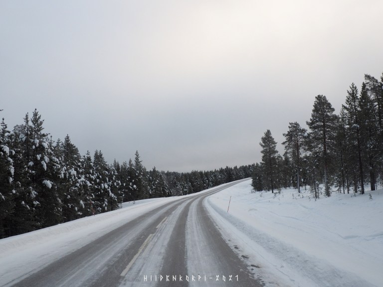
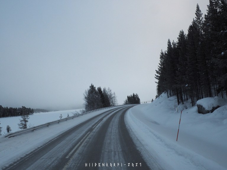
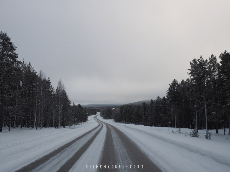
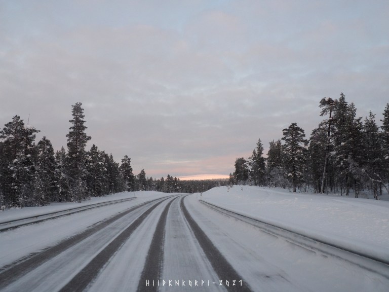
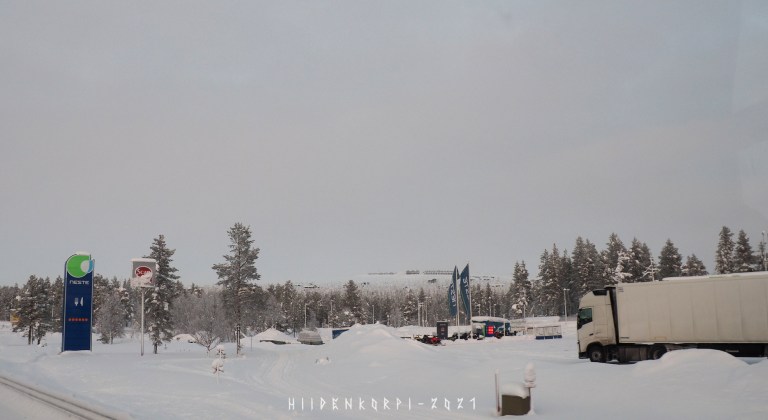
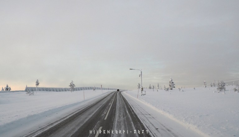
The drive started from the Inari around 12:00 o’clock. Distance from Inari to Saariselkä is about 70 km and estimated drive time about one hour, but I took my time and also stopped in Ivalo for some breakfast.
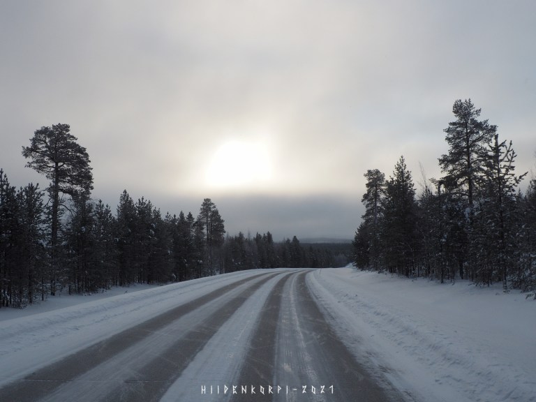
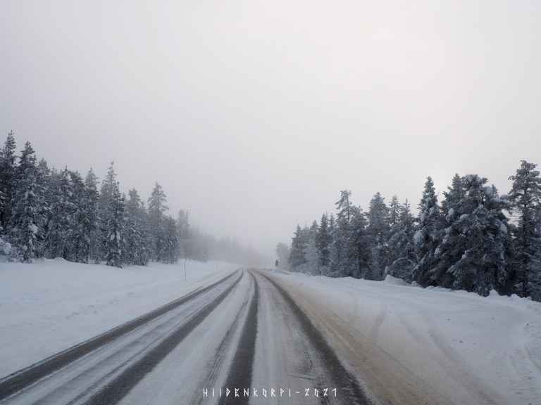
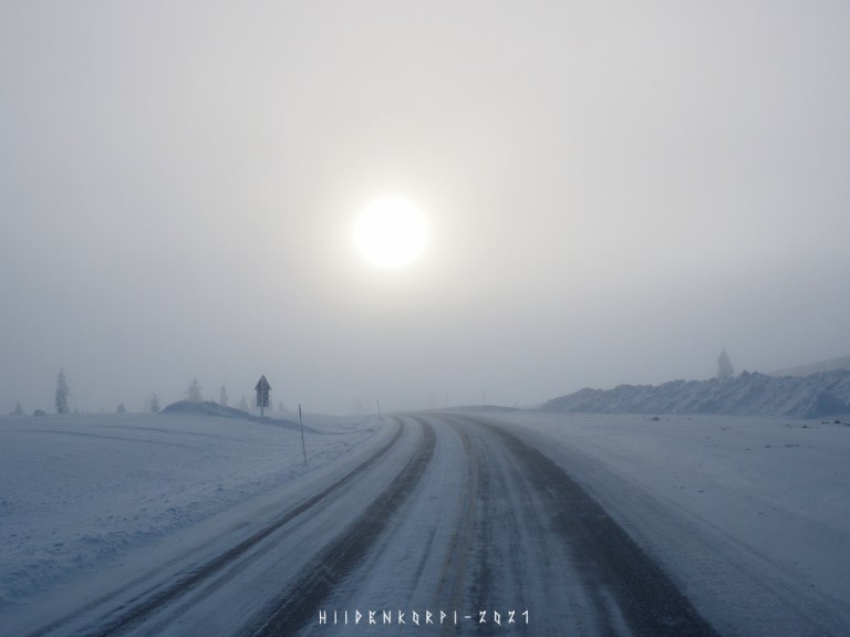
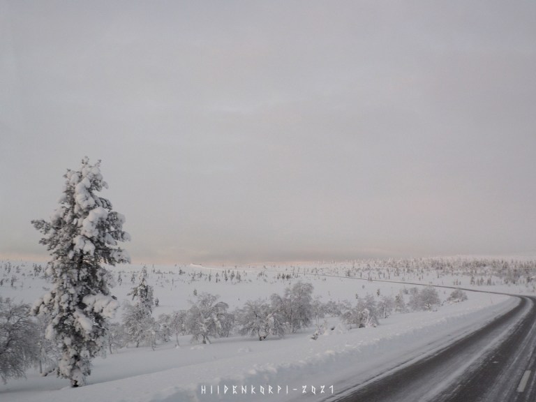
The weather was nice, tho cloudy and one could barely see the outlines of the Sun through the clouds.
Some hint of sunlight in the distance of the gray landscape.
The Sun!
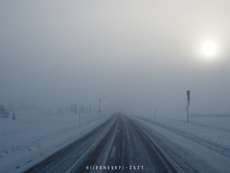
I can see the Sun…
…almost.
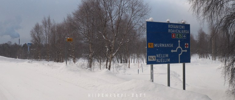
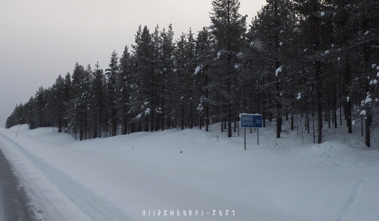
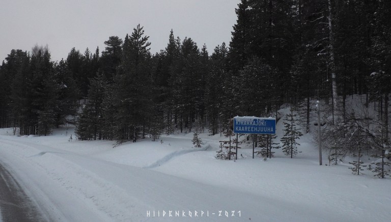
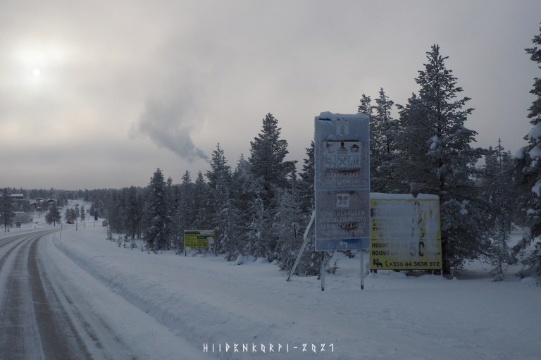
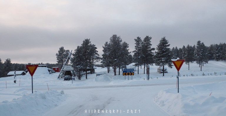
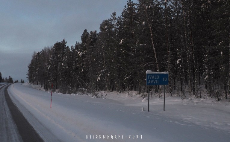
Arriving to Ivalo and here’s a sign towards the Russia border and Murmanks.
The border and the border crossing station is not that far away from Ivalo. You should beware that even being too close to the border zone will alert border guard to check you out and entering the border zone without proper authorization is a serious crime. As that’s not only Fin – Rus border but also a EU – Rus border and Schengen area border! – You do need a visa from Russian embassy to enter Russia.
Just running into the border zone forest to have a peek to the other side will get you into problems with border guard and the law and might ruin your trip here in Finland.
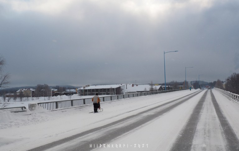
Kicksled in use at the Ivalo river bridge just before entering the Ivalo center area.

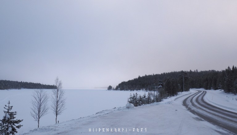
Ivalo river at the south side of the town. Also a snowmobile “highway” on the river.

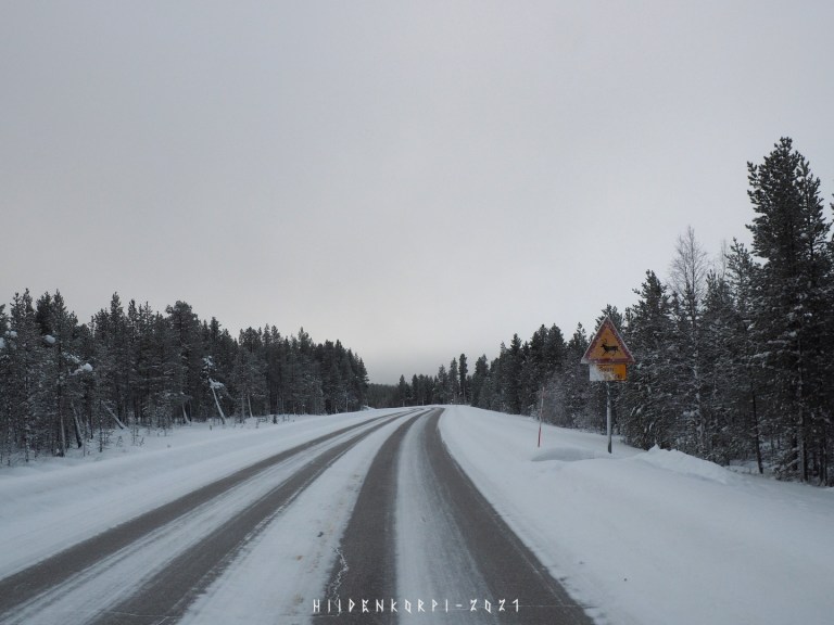
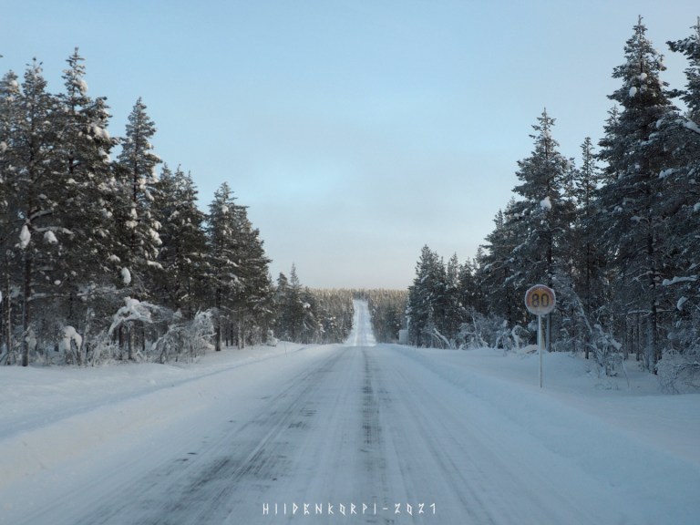
High risk area for collision with a reindeer. There’s a extra sign below emphasizing this.
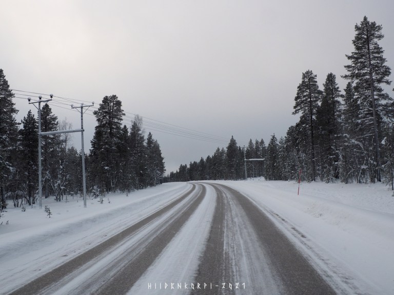
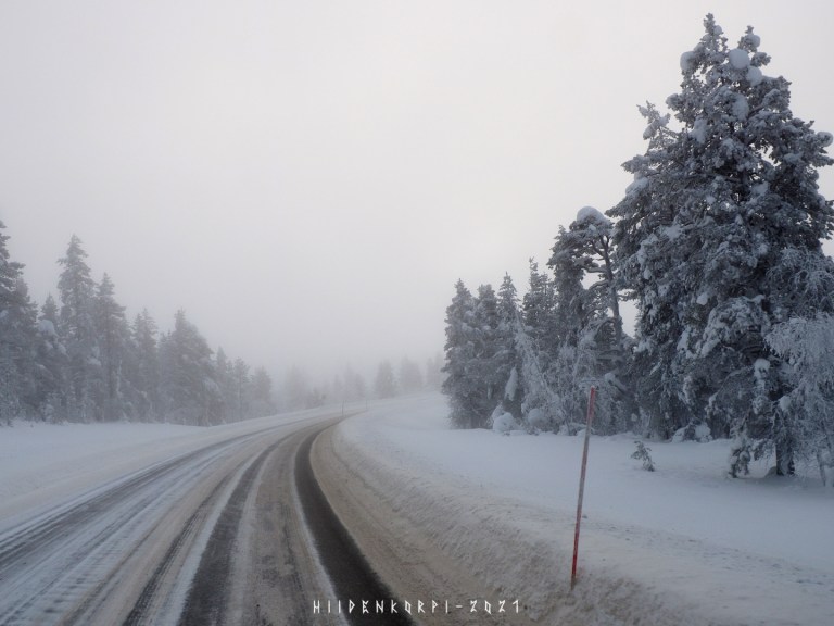
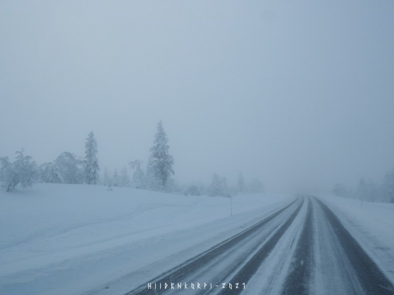
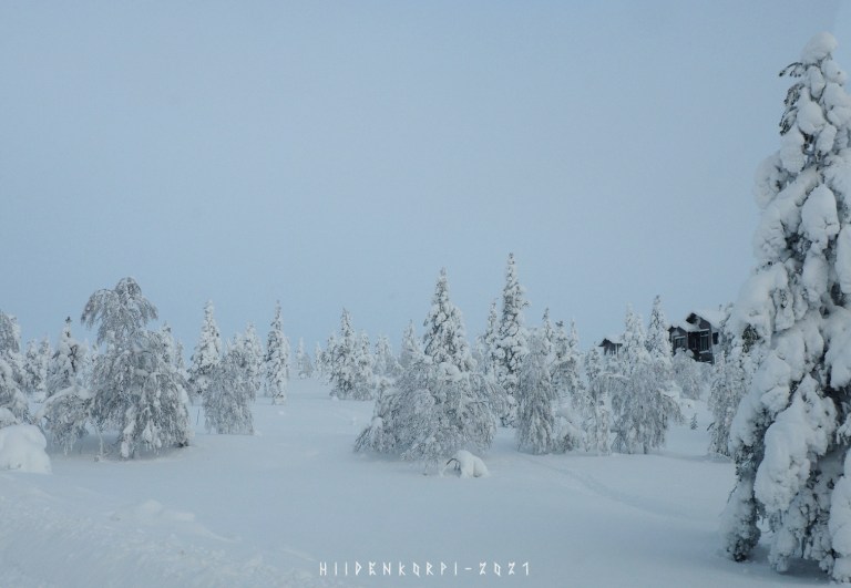
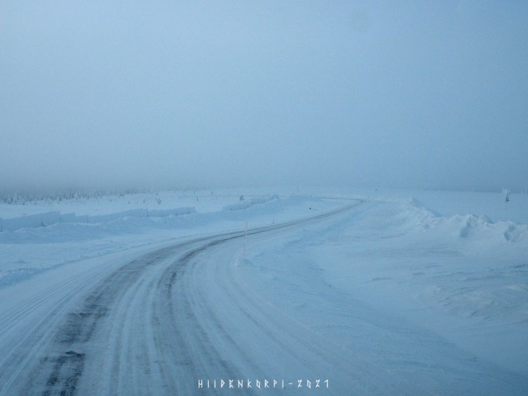
Clouds hanging low in the distance.
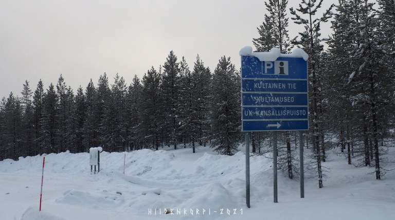
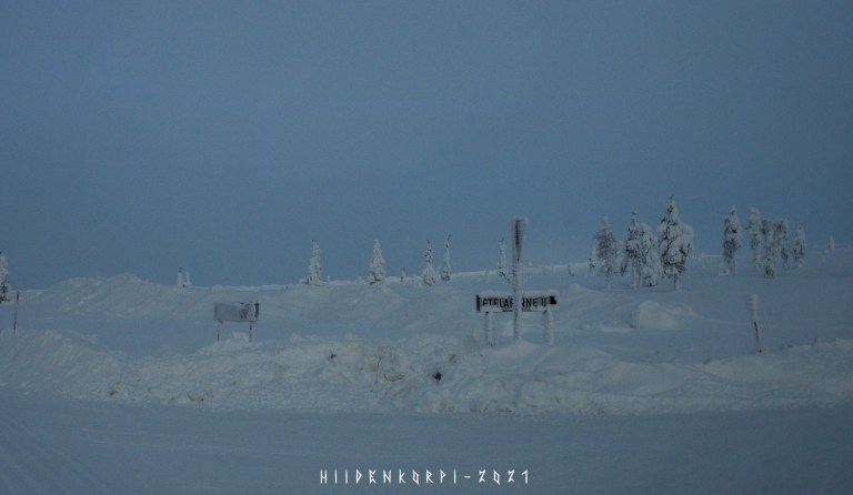
Golden Road – Gold Museum – Urho Kekkonen national park info all in here.
The Lapland area has been a place for gold panning for decades and there are still active panniers around the Lapland.
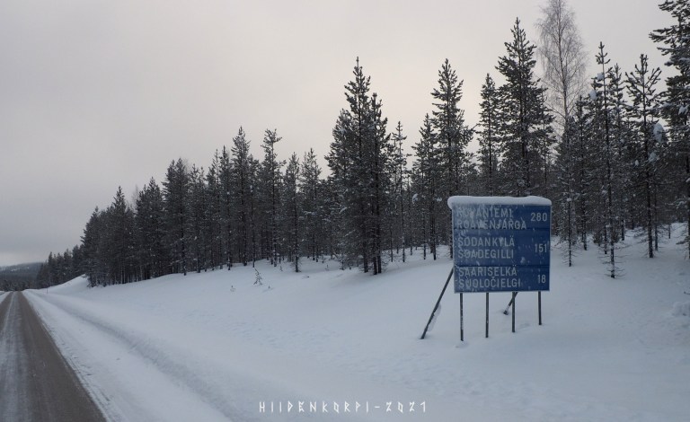
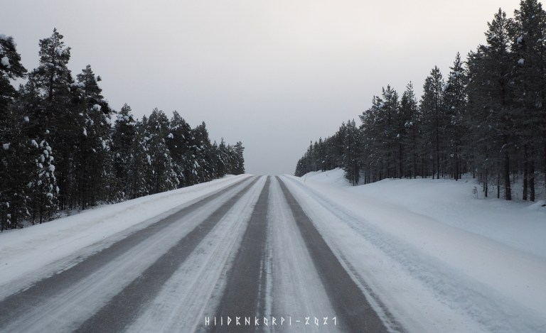
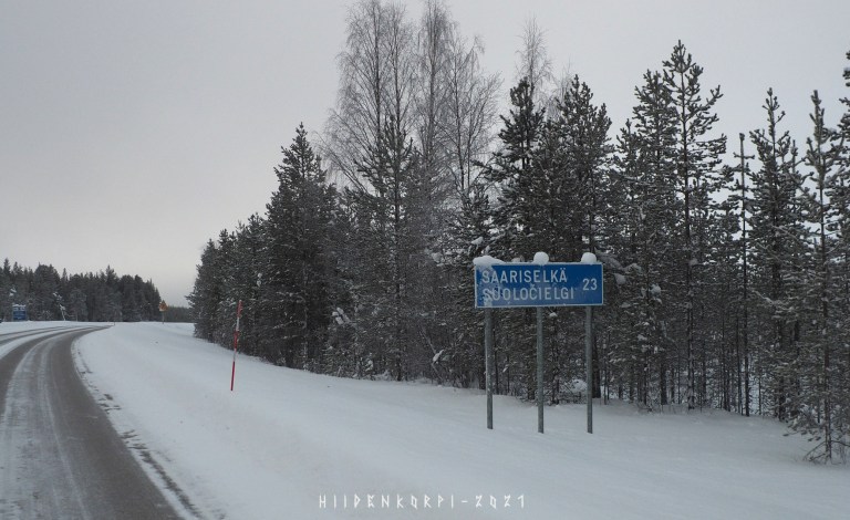
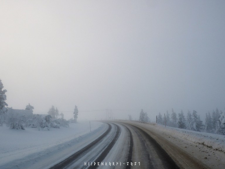
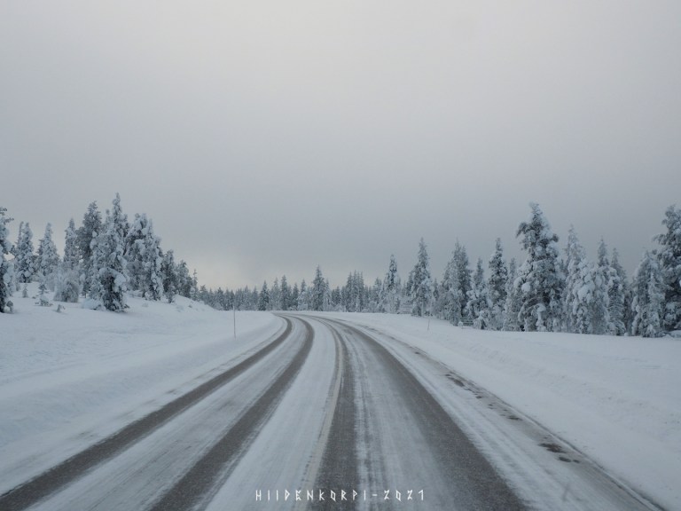
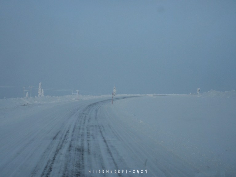
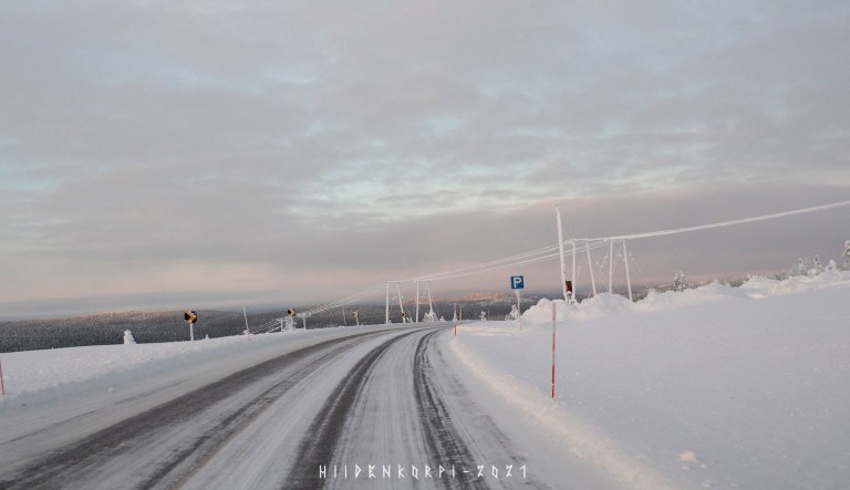
Still far in the North but almost in Saariselkä.
Going up to the Urupää / Kaunispää fell and to the clouds. – Not that high actually as the peak of Kaunispää is about 438 meters above the sea level and the Saariselkä village itself is about 300 meters above the sea level. The road goes around the side of the Urupää and Kaunispää fells. Check the map later at the peak.
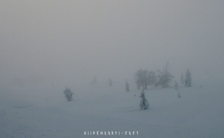
Clouds…
And more clouds around.
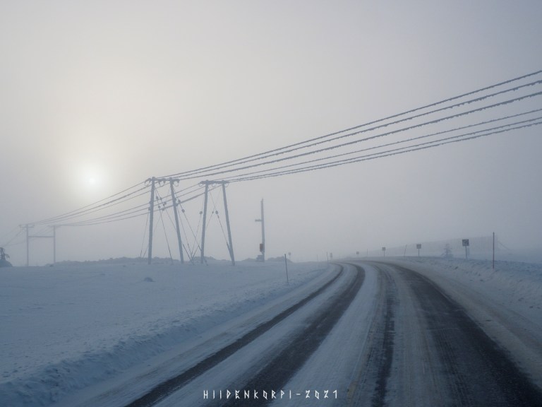
But going this high brings the Sun more visible behind the low hanging clouds.
Road camera and a weather station at the hillside of the Urupää / Kaunispää along the national highway 4. – You can see the feed from the cameras in here: https://www.kelikamerat.info/kelikamerat/Lappi/Inari/tie-4/vt4_Inari_Saariselk%C3%A4 the picture is updated about once per 30 min with the weather info and one can scroll past images on the timeline.
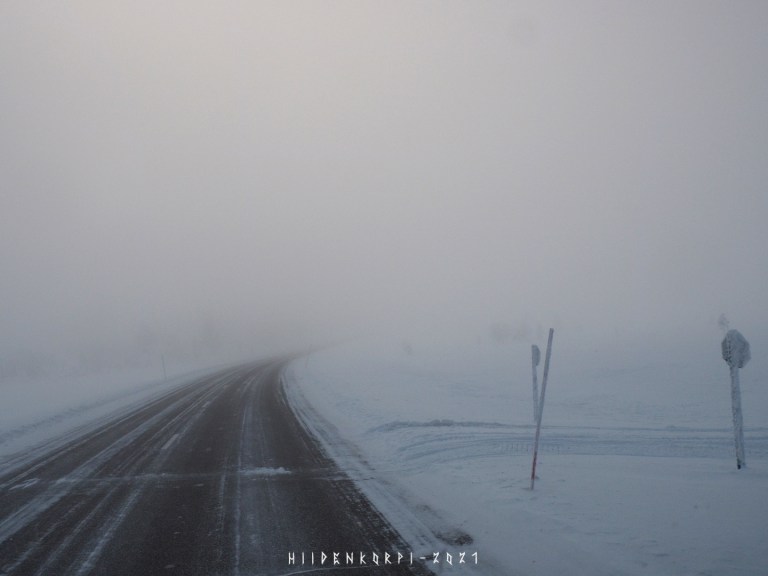
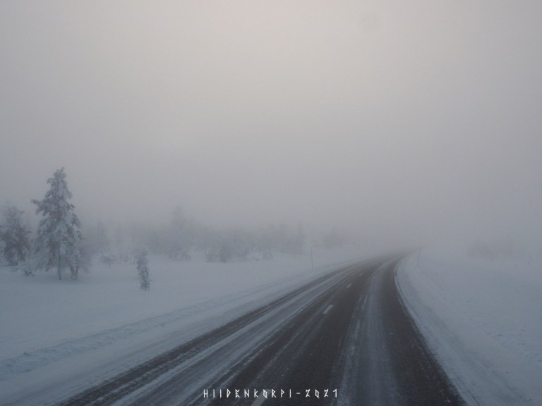
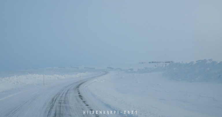
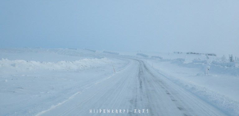
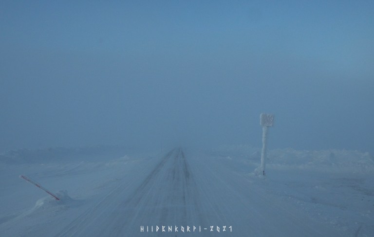
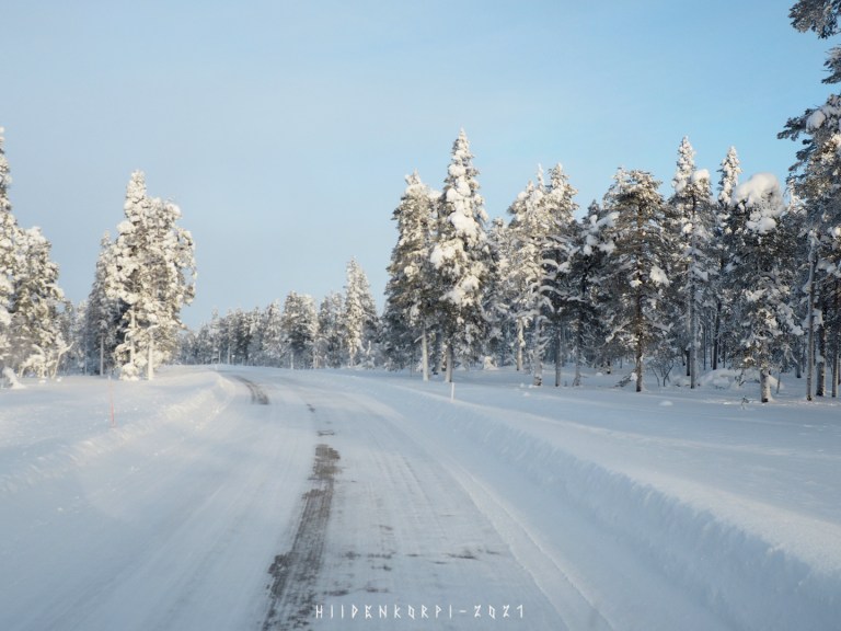
Visibility down to some 100 meters or so and a snowmobile track crossing the road.
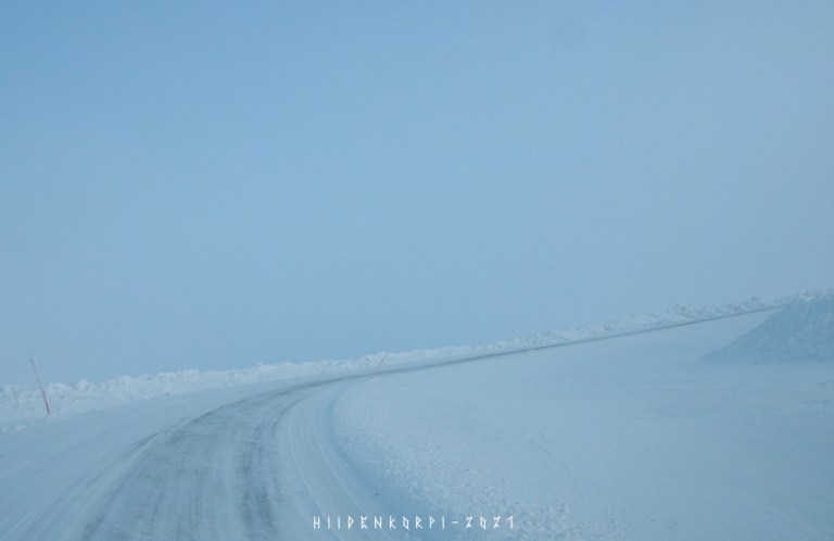
Side of the road and low visibility all around.
No more clouds as I started to descent at the south side of the Kaunispää towards the Saariselkä village.
Sign towards the road taking to the peak of the Kaunispää fell.
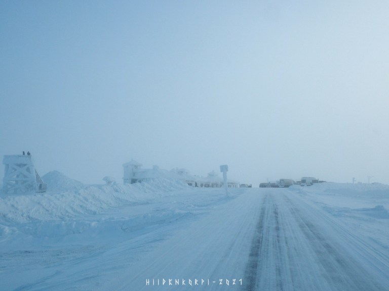
Arriving to Saariselkä.
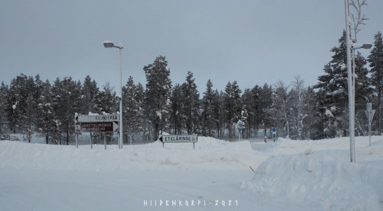
Drove around the village just to see how it looks like and popped into a grocery store to buy some snacks. Now heading up to the peak of the Kaunispää. – The main ski center is to the right at the bottom of the hill.
Cabins on the south hills of the Kaunispää.
Still some trees at this altitude.
Going up still…
Not so much trees anymore and the clouds are gathering again.
Still up we go.
Almost there.
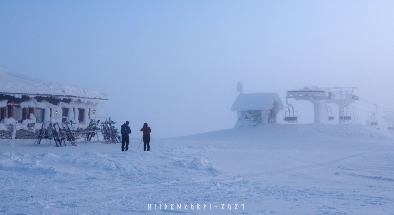
Arriving to the peak. Here’s a restaurant and some small sightseeing tower and of course people. Luckily it’s Covid-season so not that much people around. – In normal winter time Saariselkä is a very popular destination for the tourists around the Finland and the World.
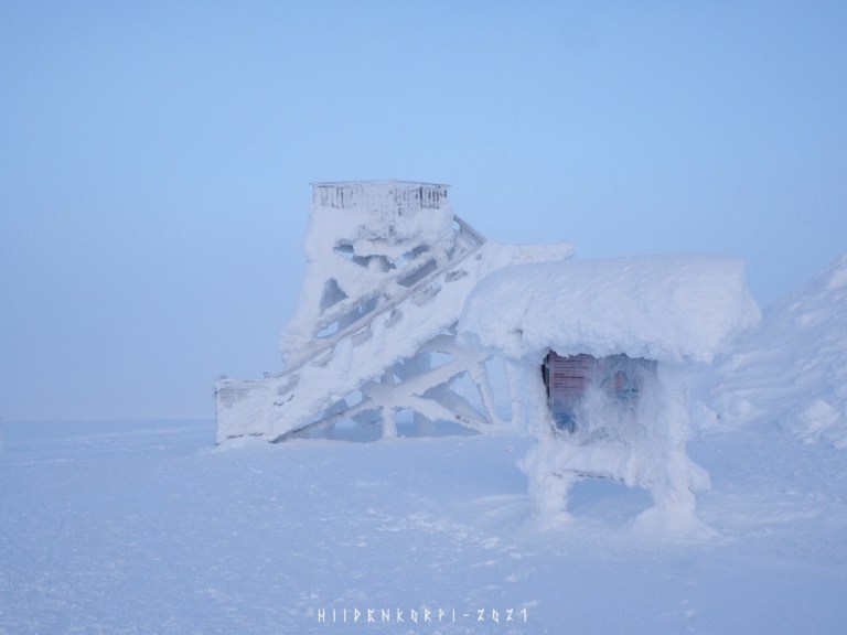
Close-up of the tower and a info sign.
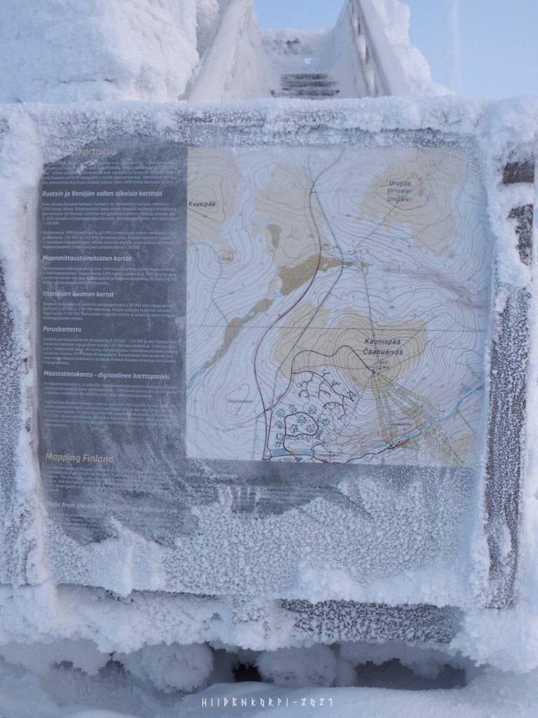
The peak, ski hills to south and south east from the peak. National highway 4 goes north south there and the Saariselkä village itself is just outside of the map to the south. The road weather camera mentioned before is about at the halfway between Urupää and Kaunispää peaks on the vt4 road.
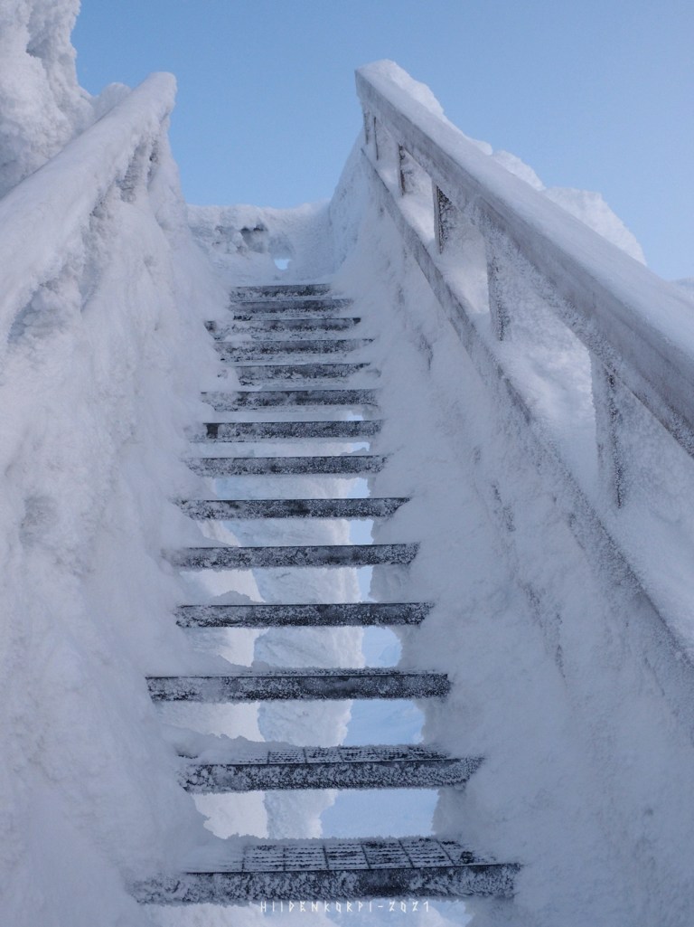
Stairs up to the tower.
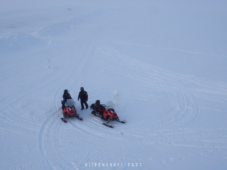
Some people came to the top on snowmobiles.
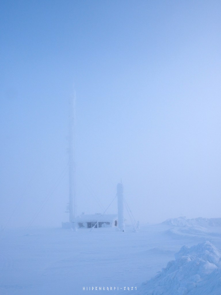
Some radio and/or cellphone link station behind of the ski cafe.
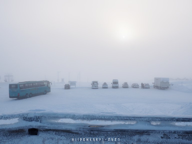
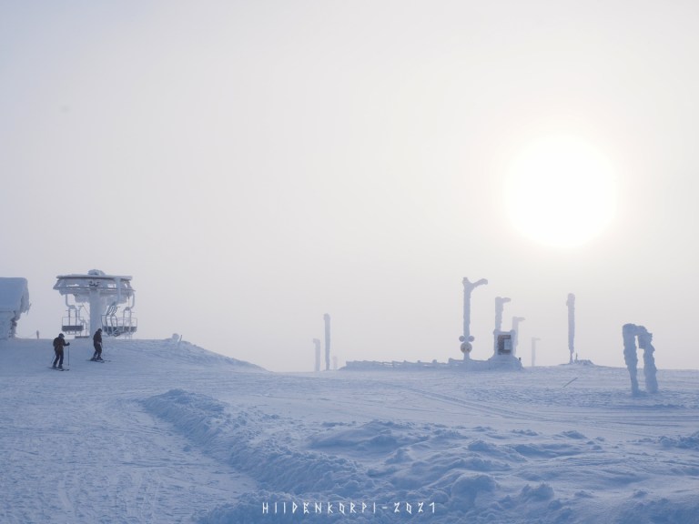
View to the south toward Saariselkä. Ski lifts at the right and some cars parked here at the top.
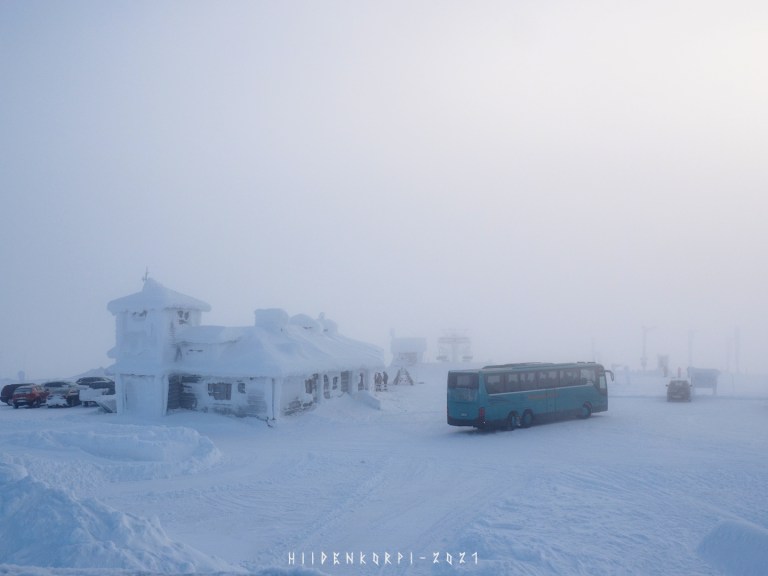
The ski restaurant.

View to the north and a snowmobile track towards Urupää.
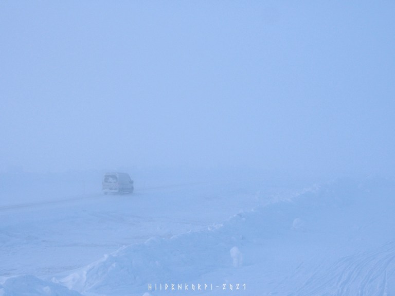
A van heading down towards the Saariselkä village on the same road I just drove up.
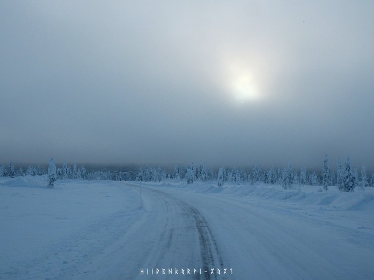
The Sun peaked a bit behind the clouds. Visibility maybe 200 meters, but mystical and mesmerizing.
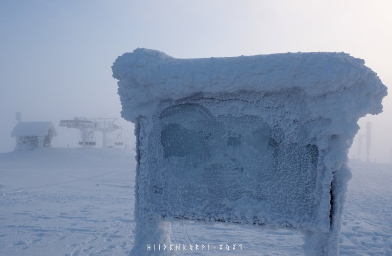
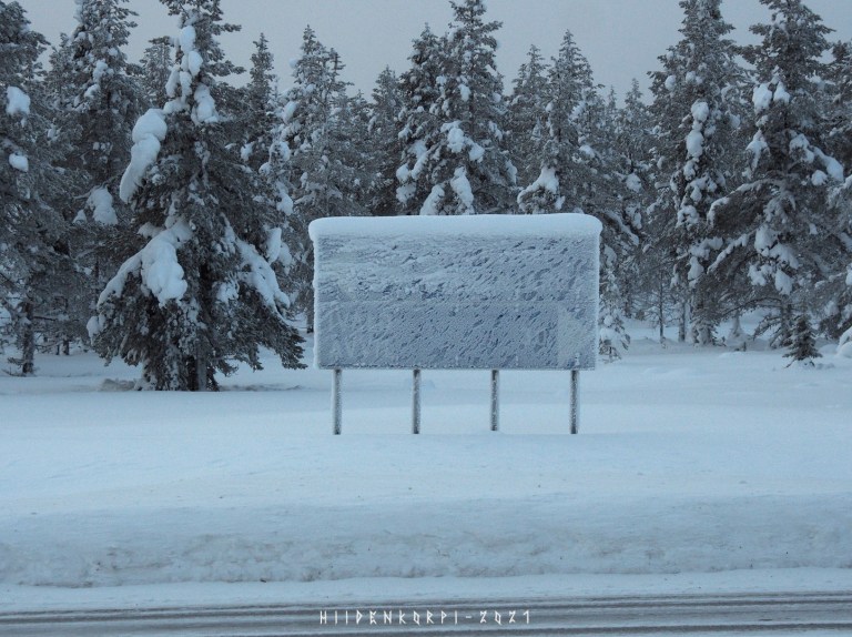
Info sign might not be all that well readable.
Some brave cross country skiers do climb the hills for the view or some warm drinks at the ski cafe.
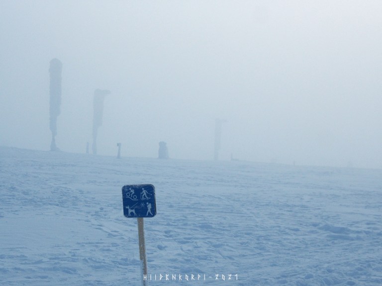
Another open path down towards the village. There are cross country ski tracks made for skiers but there are also tracks for winter mountain biking and fat bikes and for hiking and snowshoeing.
Heading down after a cup of hot chocolate at the ski cafe.
Some trees appearing on the horizon.
And the Sun peeking again…
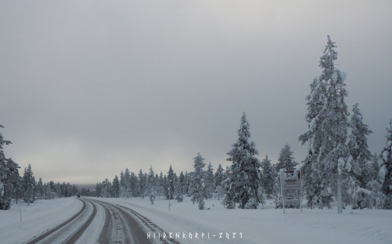
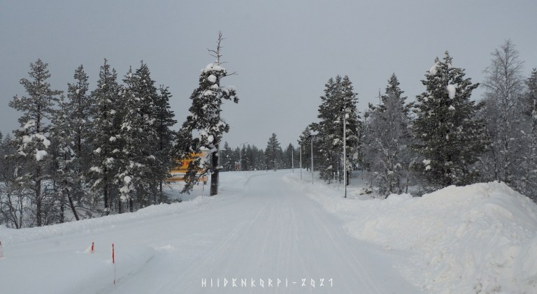
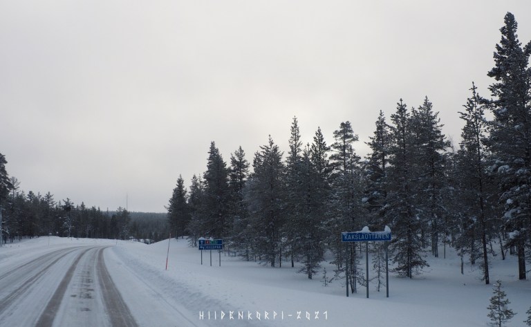
Back onto the vt4 and heading a bit more south some 20 km to Kakslauttanen and Kiilopää. Not sure if it reads Sodankylä or Rovaniemi towards south but Ivalo towards north.
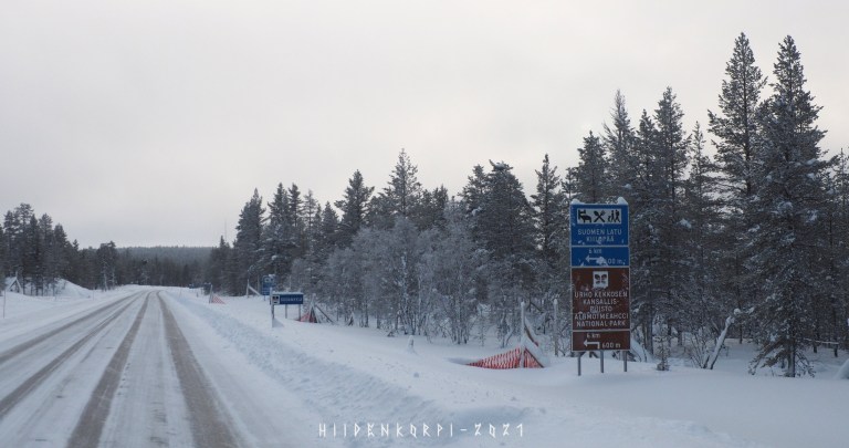
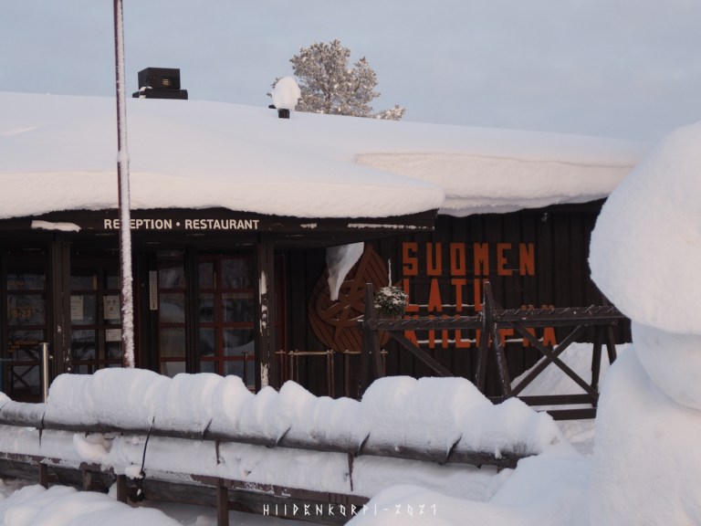
Sign towards “Suomen Latu” in Kiilopää fell and the brown one again directs to the Urho Kekkonen national park.
Last time I was in Kiilopää I stepped out from the bus in here and walked the 6 km to the Suomen Latu sport center.
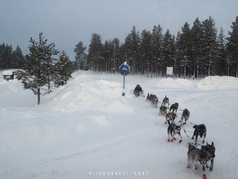
A dog sled can be difficult to control as the dogs just love to run and pull no matter what. The driver was a pro and able to stop the dogs not running on the street on front of my car though I did slow down just in case and cause of that had the time to take this photo when passing by.
Dog sleds are quite popular and common in tourist places like Saariselkä and especially foreigner people are fascinated by these animals and how they can pull people on the snow covered paths over long distances.
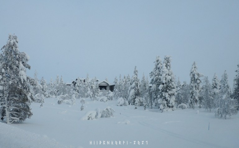
The road towards Suomen Latu and Kiilopää.
Arrived to my destination and headed to the restaurant to get my well deserved “Kiilopää Burger”.

The low hanging Sun came out from behind the clouds to give me this perfect light on my meal.
(SooC JPG from my camera, barely touched it in the Darkroom.)
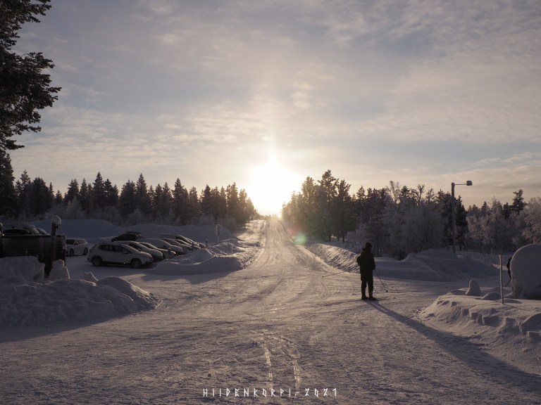
Also just had to go outside to take this shot as the Sun was directly above the road leading to this wonderful place.
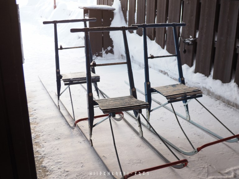
Some kicksleds for people to rent (or borrow?).
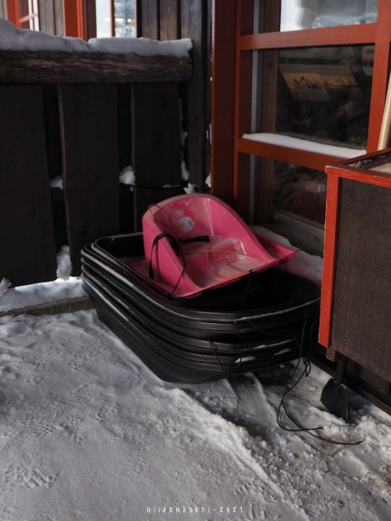
Some pulk and ahkio. Pink one is for a small child or toddler who still can’t sit well unsupported.
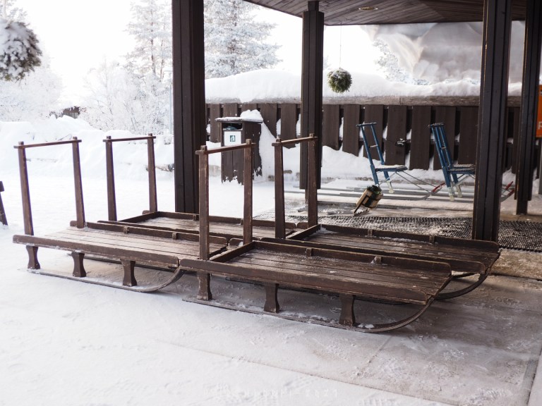
Version of a kicksled that runs better on snow and can haul people or gear. Can be also be pulled by a person, dogs, snowmobile, etc.
Stands for skies. I arrived just the lunch buffet was over so not much traffic at the restaurant or reception just now. Also Covid limits people traveling around.

Some snow sculptures.
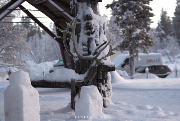
Wooden reindeer with real reindeer antlers.
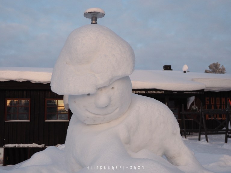
Another snow sculpture.
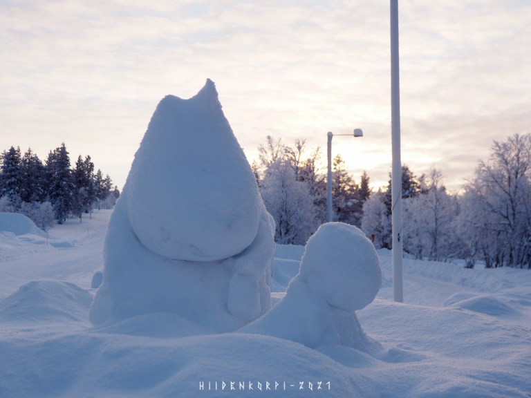
Moominmamma snow sculpture with her iconic handbag party covered by snow.
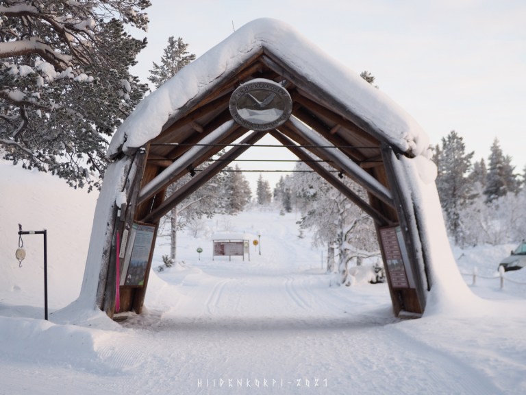
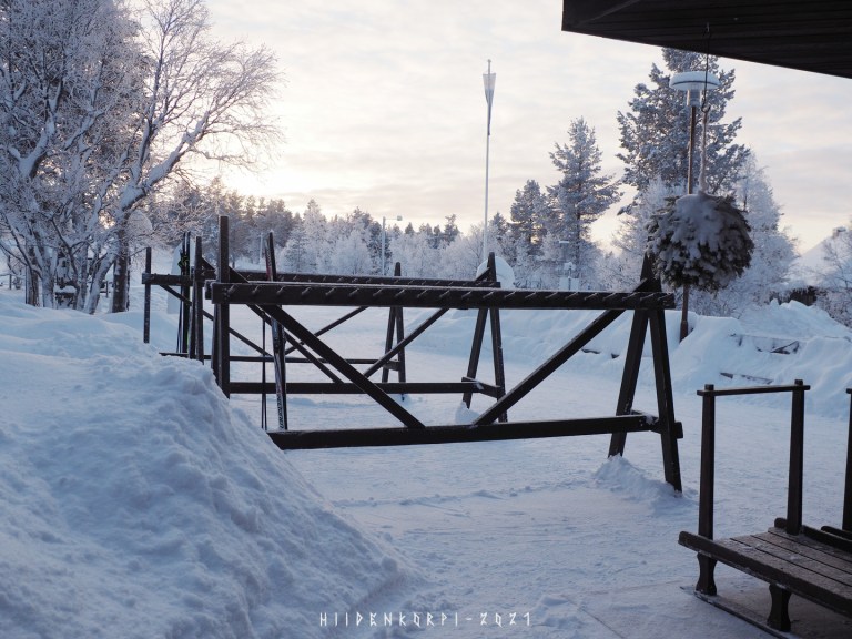
The entrance to the Urho Kekkonen national park. Also on the left is a scale to weight your backpack and gear. There is also path and stairs to the peak of Kiilopää fell through the gate and then up left.

Leaving Kiilopää…
Arriving to vt4 and heading towards the north Ivalo and Inari.
Sun is setting and the colours at the horizon are going reddish.

Passing the Saariselkä and a welcome to Saariselkä sign.
Road to the Saariselkä village and some cabins up on the south hill of the Kaunispää fell.
Road up on the Kiilopää and Urupää and some last sunlight on the distance.
The road camera and weather station again. No clouds this time.
Last sunlight in the distance.
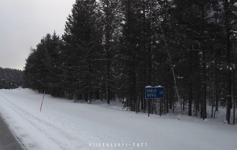
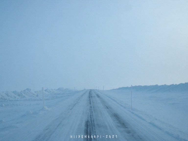
Still 10 km to Ivalo.
People like to drive their snowmobiles in Lapland. Basicly they should stay on a designated tracks, but this kind of riding is quite common, tho not completely legal.
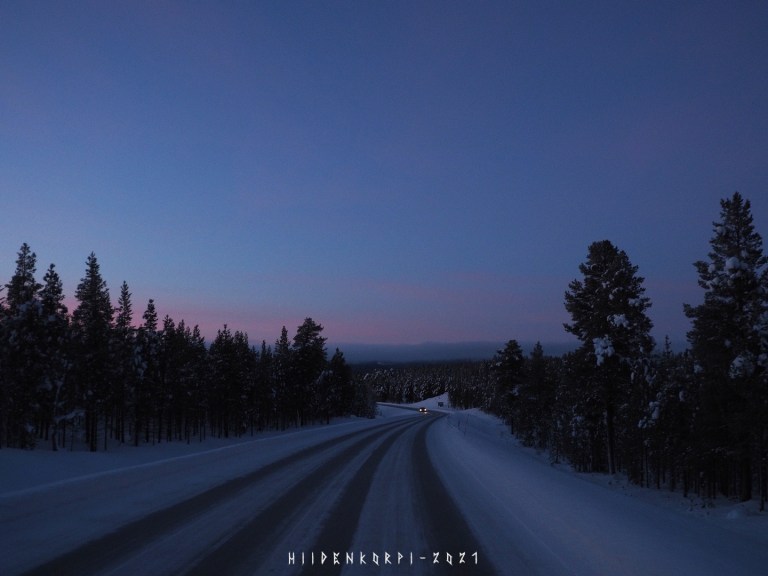
Sun has gone below the horizon and still some km to Inari. Will leave you with this shot of the colours of the sunset in the north.
Be safe!
