
In February I had a chance to do a couple day road trip in Lapland. A friend of mine was invited to northern Finland for some work related excursion and as it’s a quite a long drive from middle / southern parts of Finland to the Lapland I tagged along to keep company.
As they were handling their work related duties, I took the couple days to drive around northern Lapland with my camera.
This post is mainly a huge image dump, and part 2 of 4 in series.
My route was from Inari >> Karigasniemi (pt.1), Karigasniemi >> Utsjoki (pt.2) and Utsjoki >> Inari (pt.3) in one day. On the next day I drove from Inari to Saariselkä and Kiilopää and back (pt.4). There might also later be some extra pics and material from the trip to and from Inari to Rovaniemi and maybe something else also, tho no promises.
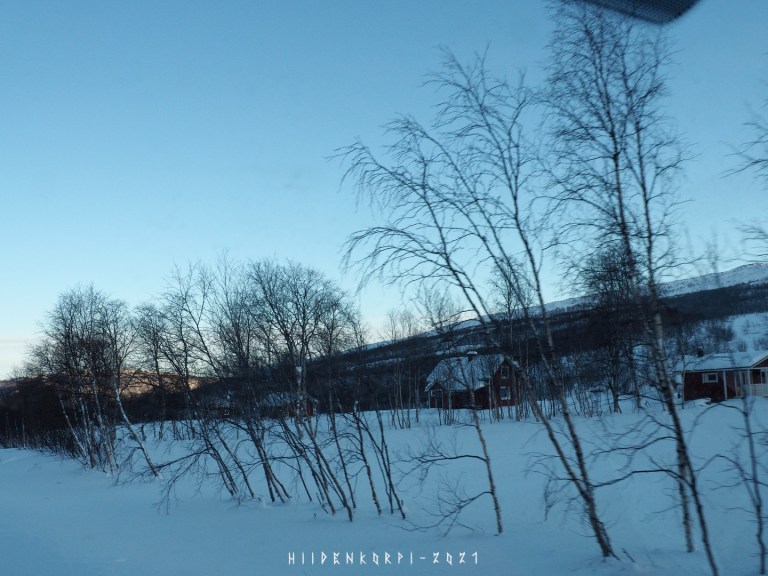
Some of the pictures are taken through the windshield of the car, so some blurs and hazes and dots here and there.
-
- Photo gear:
– Olympus OM-D E-M10 mk1
– Sigma 18 – 50 mm f/2.8 (4/3)
– Super Varexon 135 mm f/2.8 (M42)
– Zenit MS 3M-5SA 500 mm f/8 (M42)
– M42 x2 extender
- Photo gear:
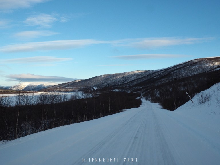
Started my trip around 13:30 and took about two hours to drive to Utsjoki, landin in there about 15:30.
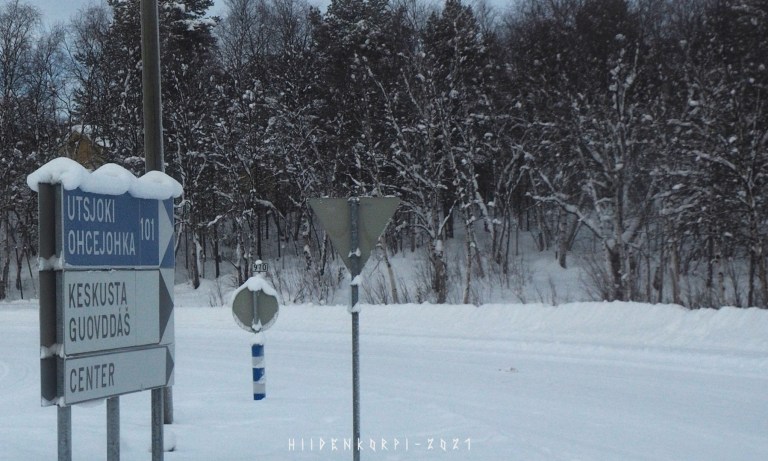
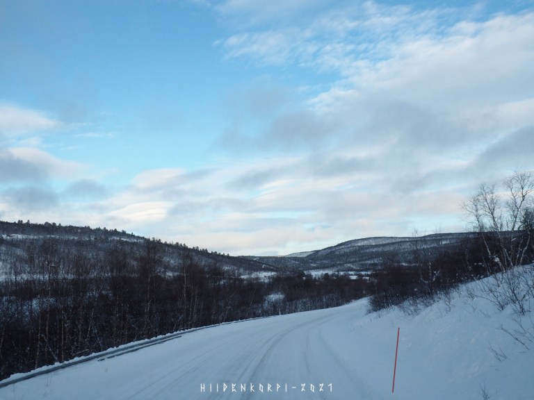
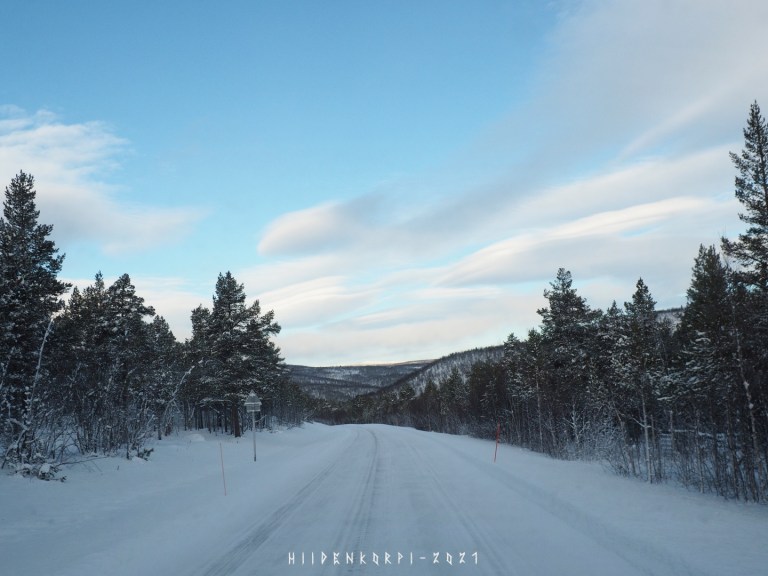
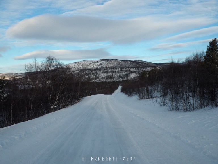
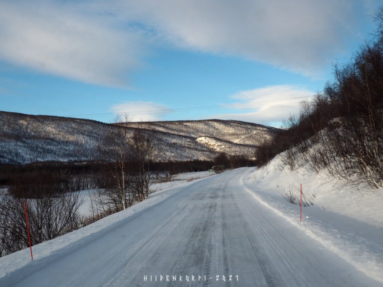
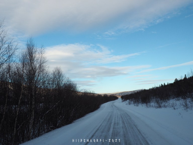
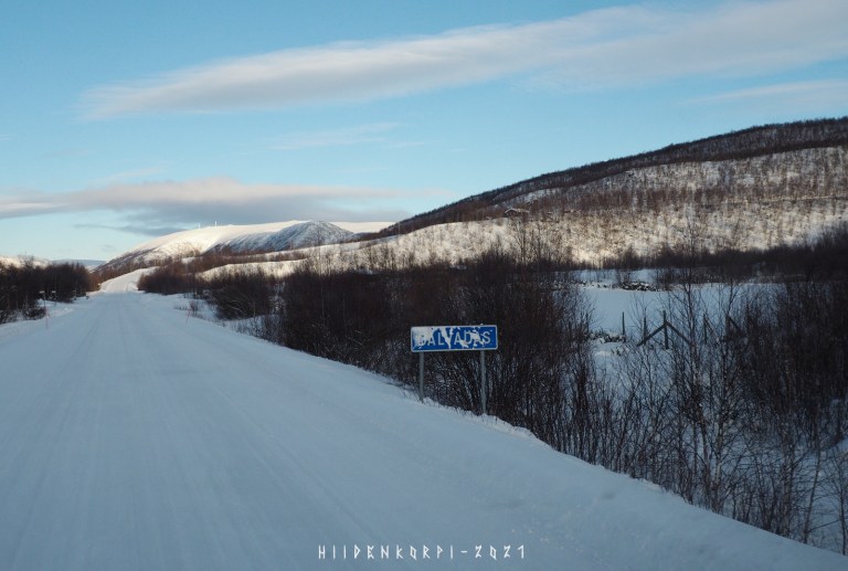
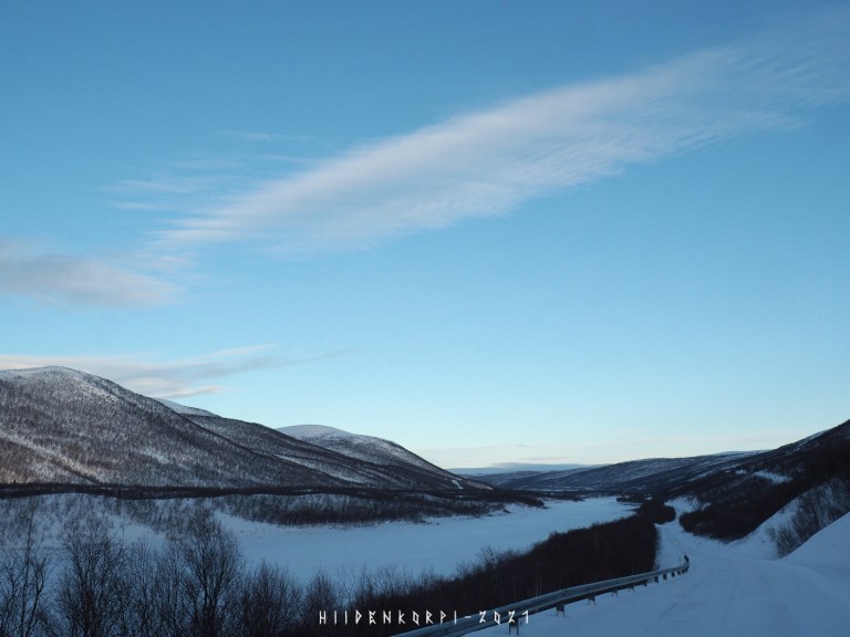
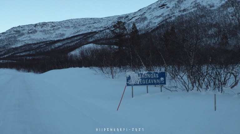
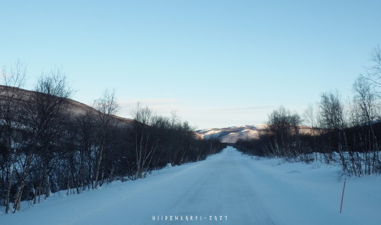
Starting point from Karigasniemi and 101 km to go…
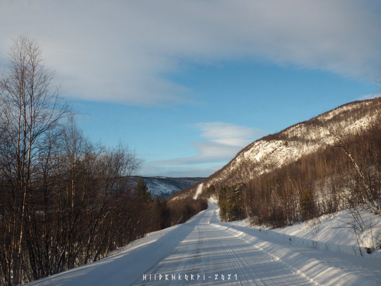
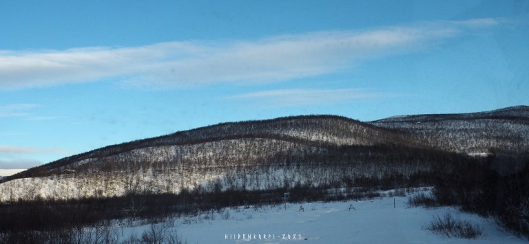
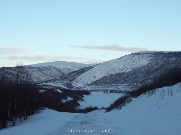
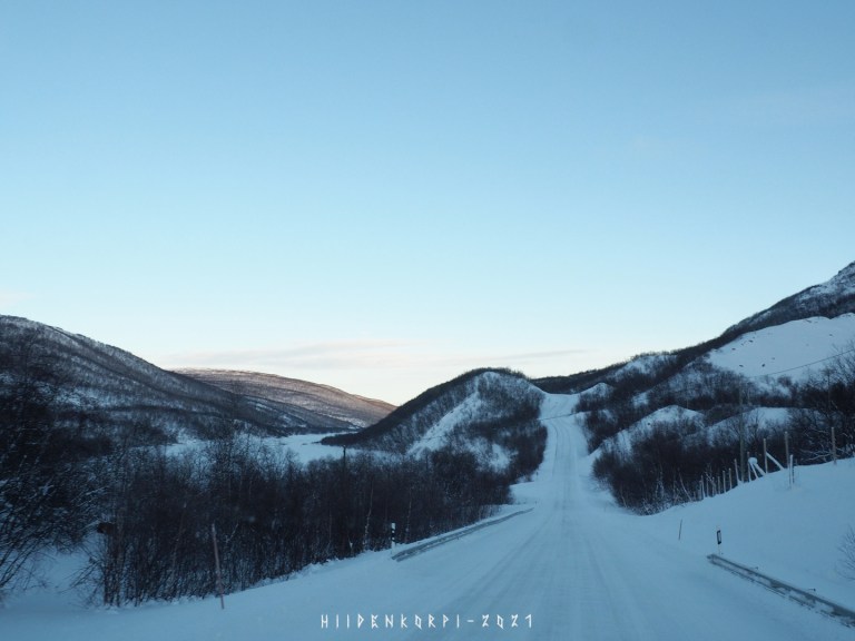
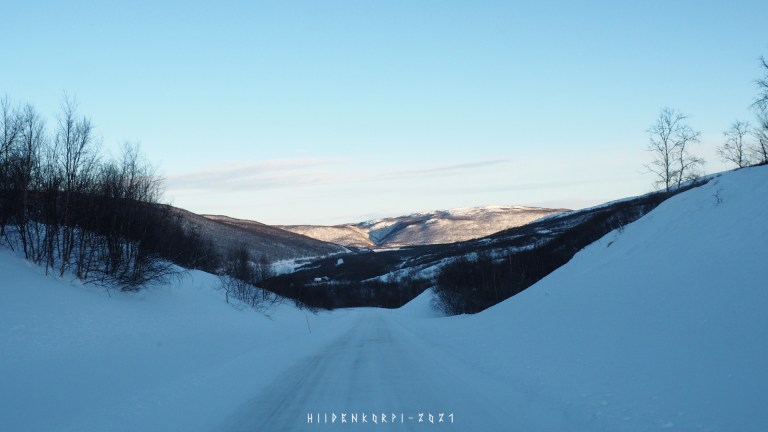
The roads were open and weather was nice.
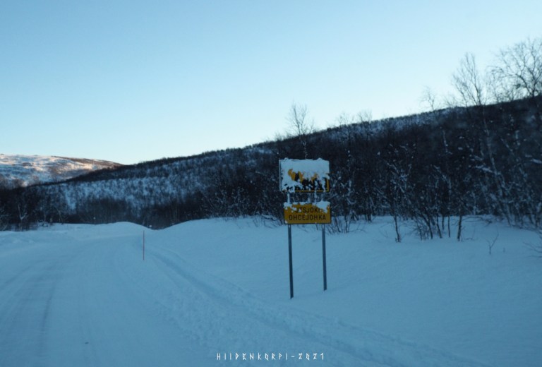
Think I met like two cars on the whole trip from Karigasniemi to Utsjoki.

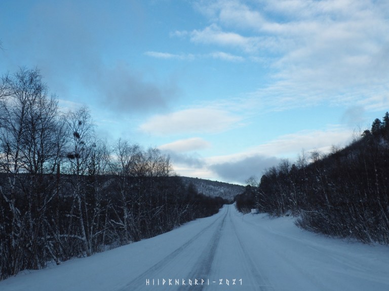
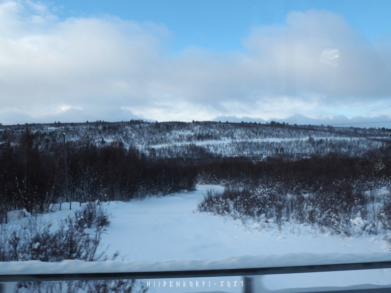
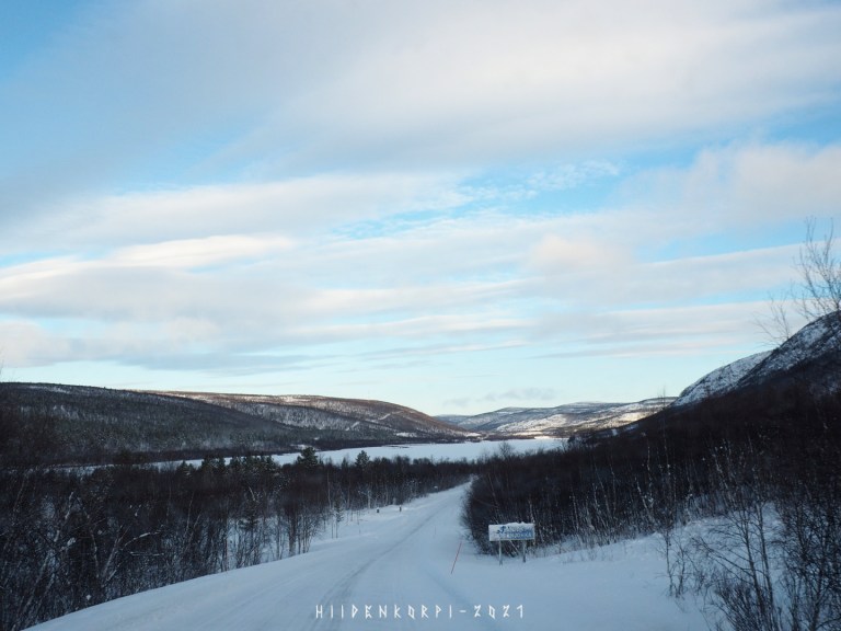
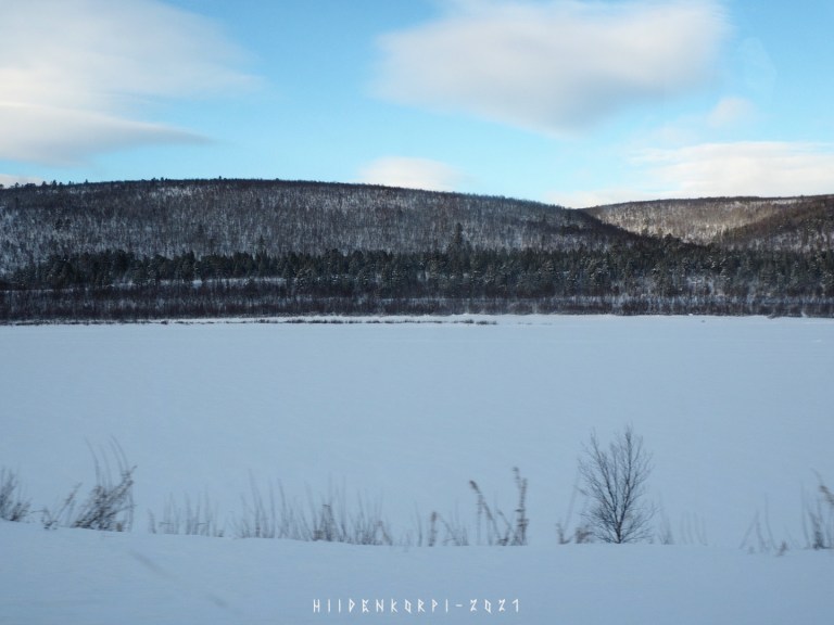
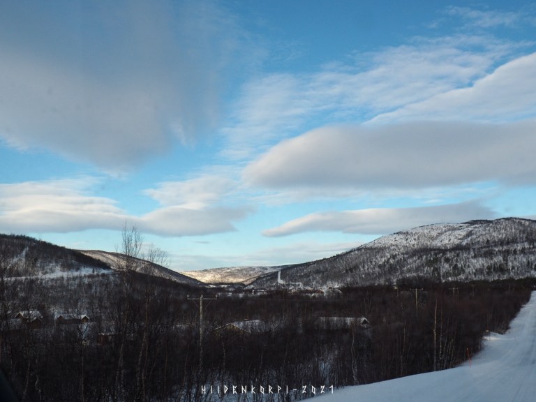
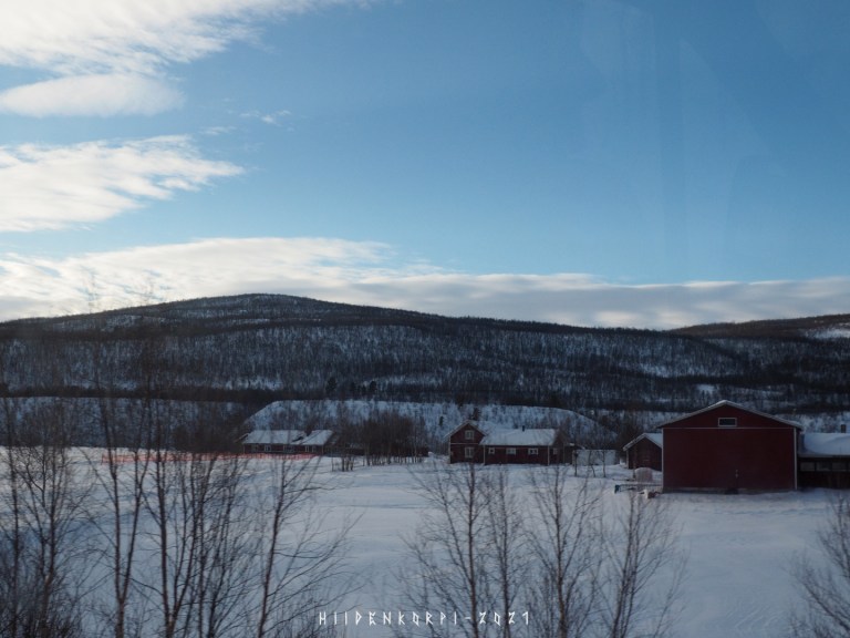
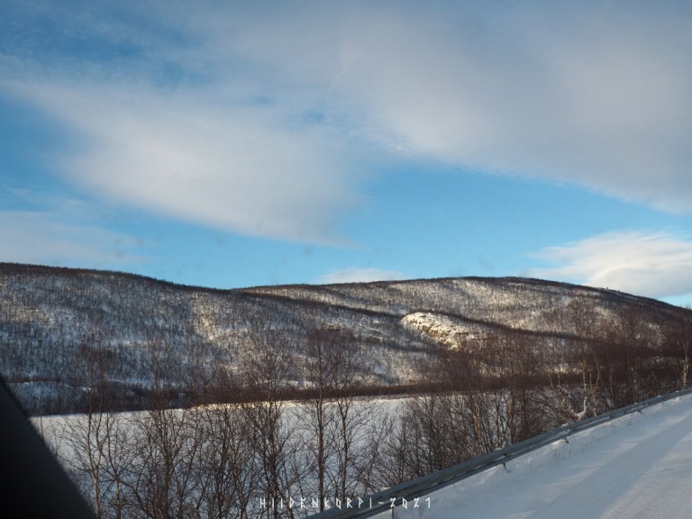
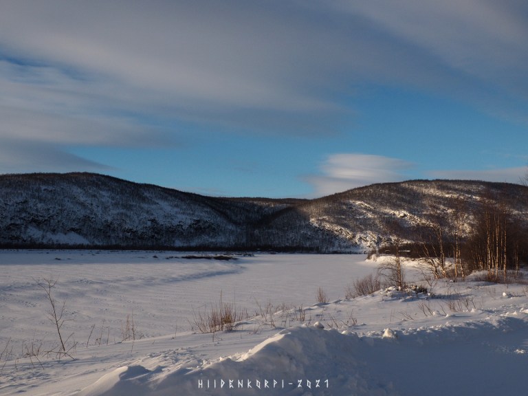
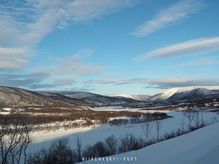
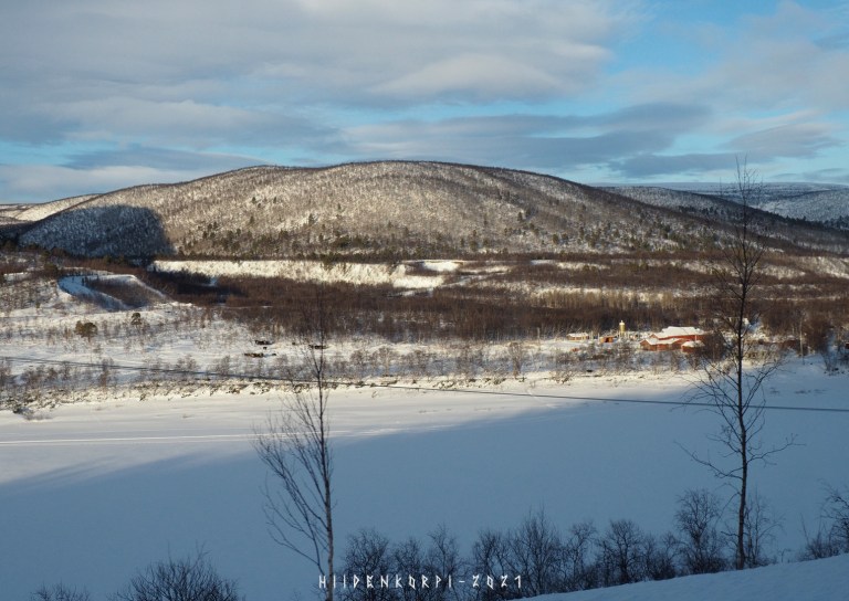
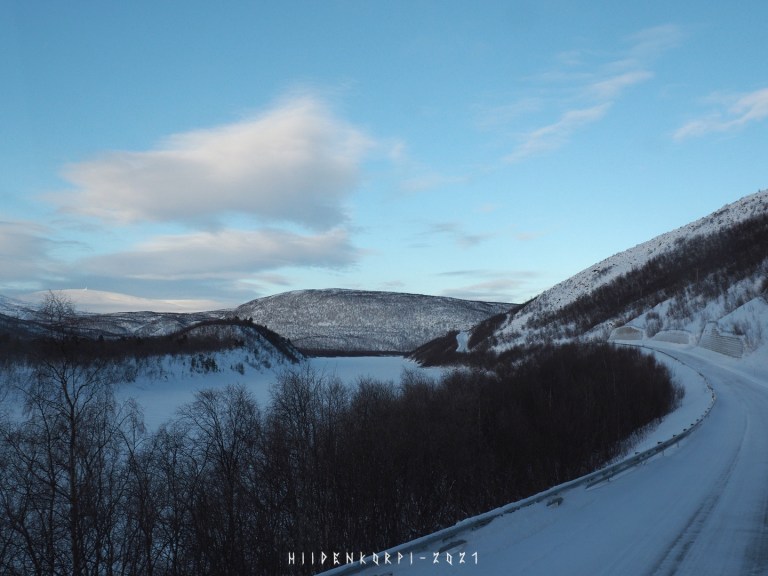
Teno (Tana) river valley is a popular spot for tourists and fishers during the summer months.
And there are quite a lot of traffic during those summer months: campers, motorists, cyclists, wot-not.
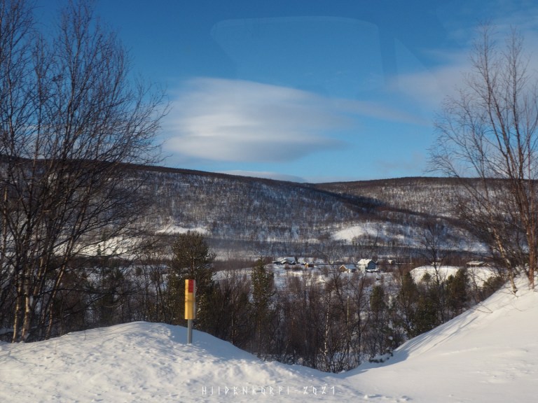
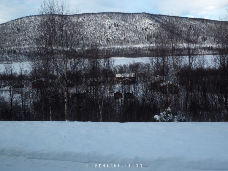
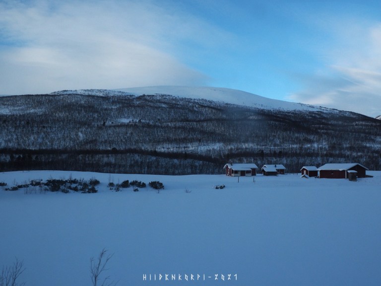
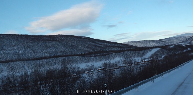
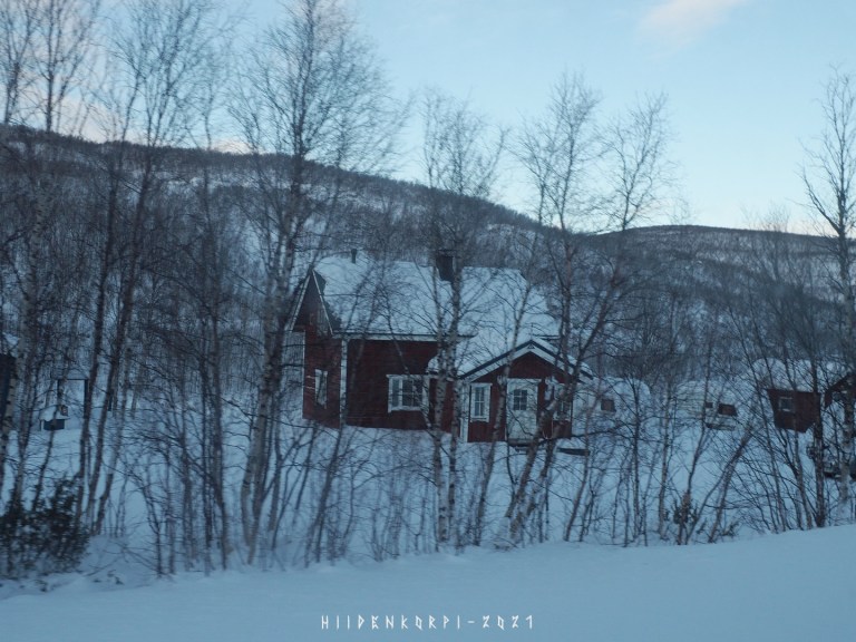
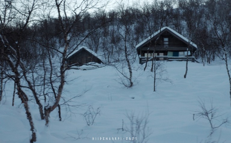
There are also many cabins for rent in this area and both sides of the border.
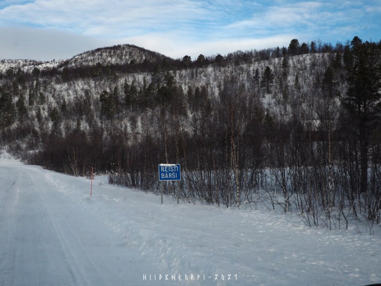
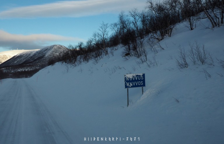
There is actually another road at the Norway side of the river that starts from Karigasniemi border crossing and goes all the way to the Utsjoki.
Actually the roads on both sides continue north up till Nuorgam the most northen village in Finland and then the Finnish – Norway border starts to bend southwards and river Teno (Tana) keeps flowing toward the Arctic Ocean.
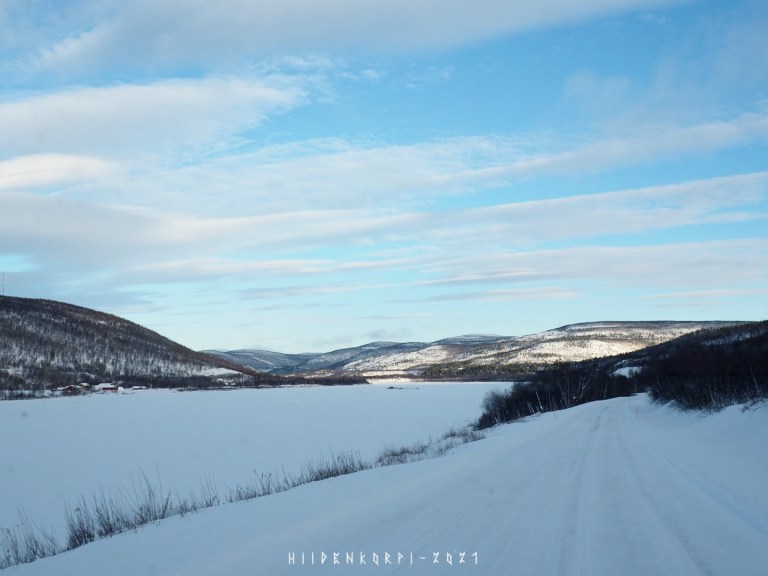
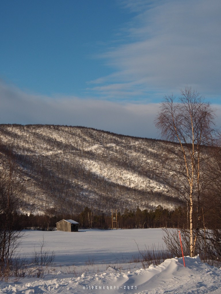
The river is big and wide and has huts, cabins, houses and farms on both shores.
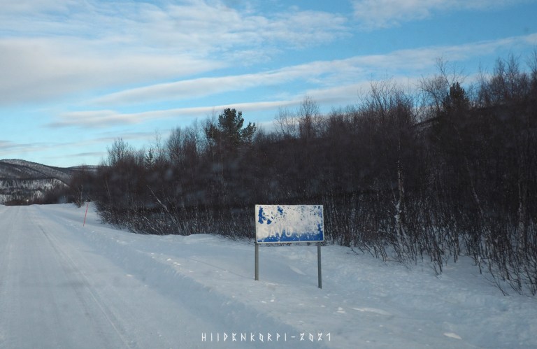
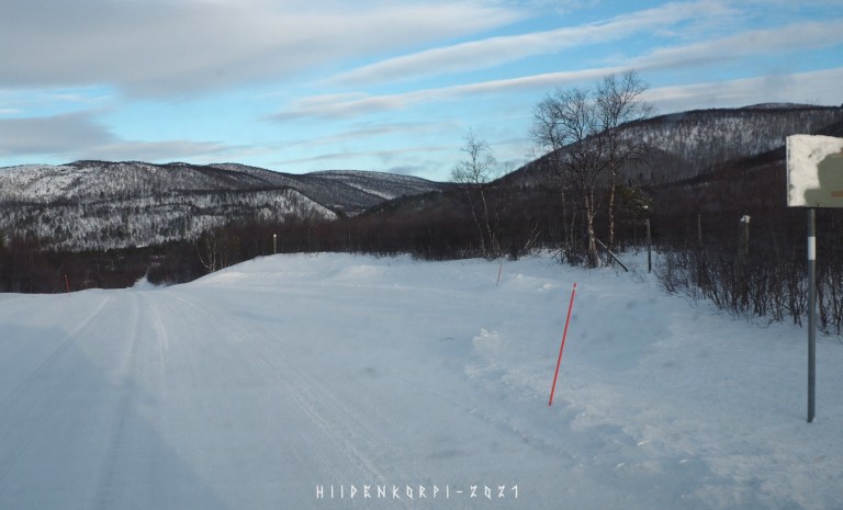
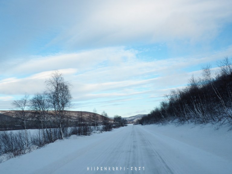
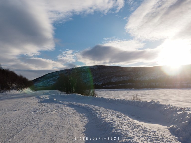
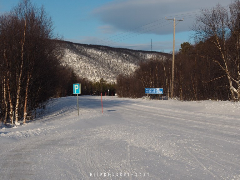
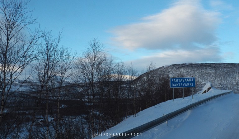
Also there are many P-spots, at least in the Finnish side of the river side road. Because of the Covid-Korona restrictions, I couldn’t cross the border to the Norway even if I wanted so all the pics and this story is from the Finnish side of the river side road.
Around here the Sun started to peek behind the clouds.
Ebin lens flare for you photo nerds as the Sun is just above the mountains.

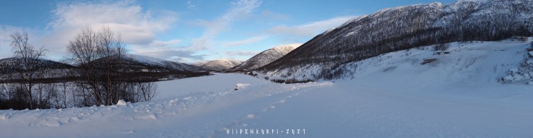
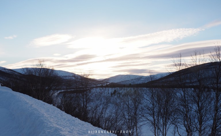
About 180° panorama from multiple 18 mm shots on a P-spot on the side of the road.
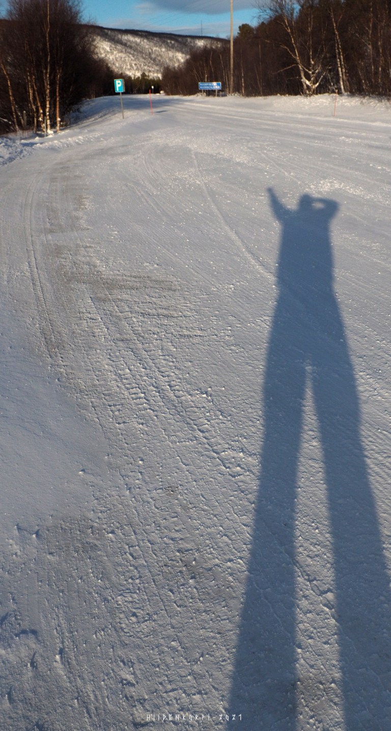
The proof that I was there.

Another stitched panorama.
Sunlight and shadows made this a beautiful experience.
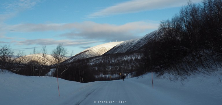
Single frame @ 18 mm.
And a bit wider panorama from multiple frames.
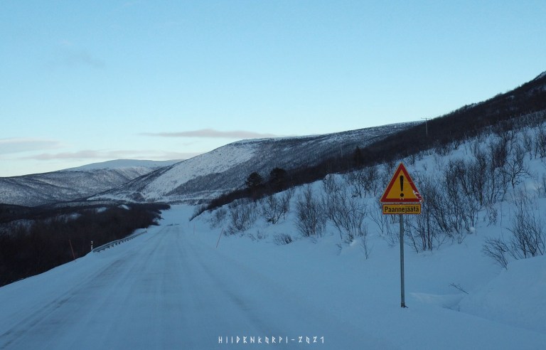
Paannejää is ice that forms on top of the road when water flows from the side of the road, from hills, etc., to the road and freezes. Could be a spring or a small stream flowing near by or the Sun melting snow and ice.
Purple shades of the northern sunset.
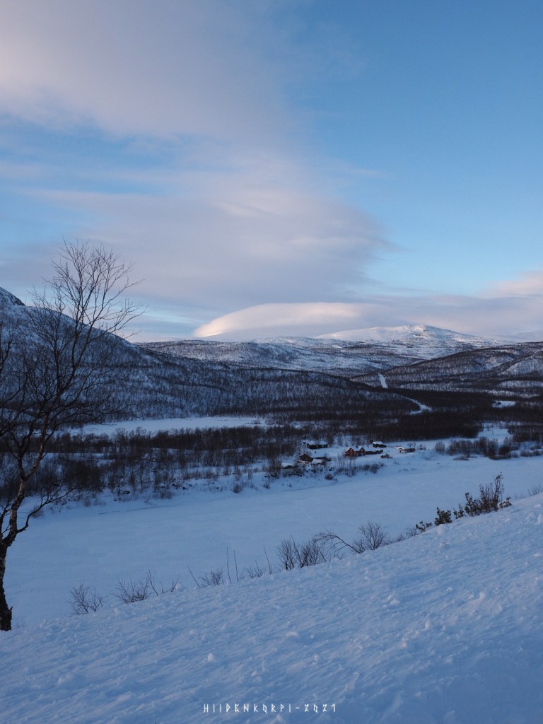
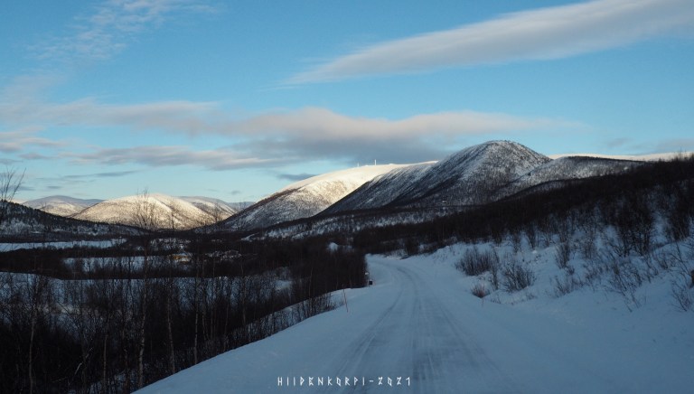
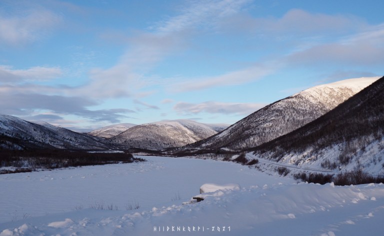
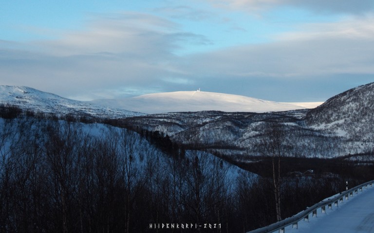
Another panorama stitched together. The white peak at far a bit left from the center of the picture is the place to spot for later image below.
50 mm shot.

Shot with 500 mm f/8 mirror lens.
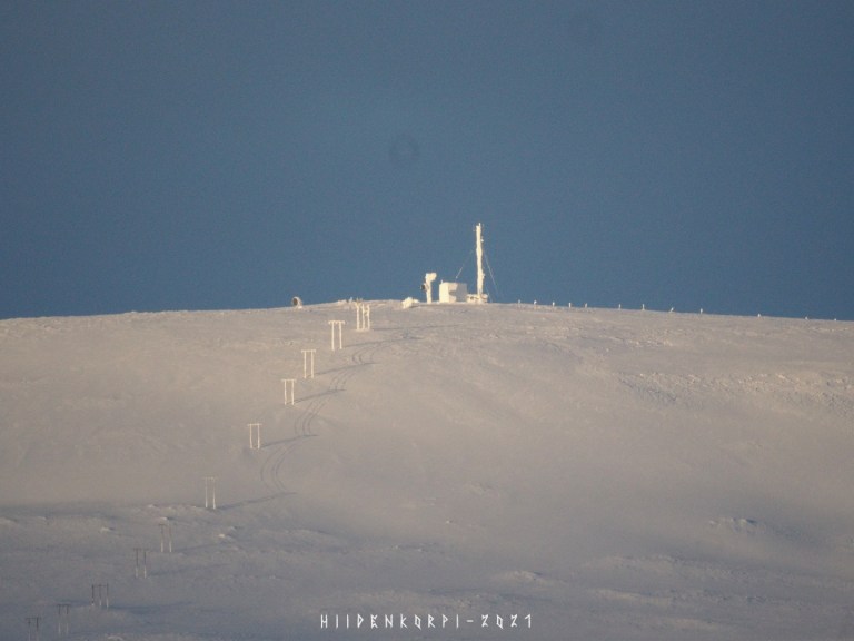
500 mm f/8 mirror lens with a 2x extender ( = 1000 mm).

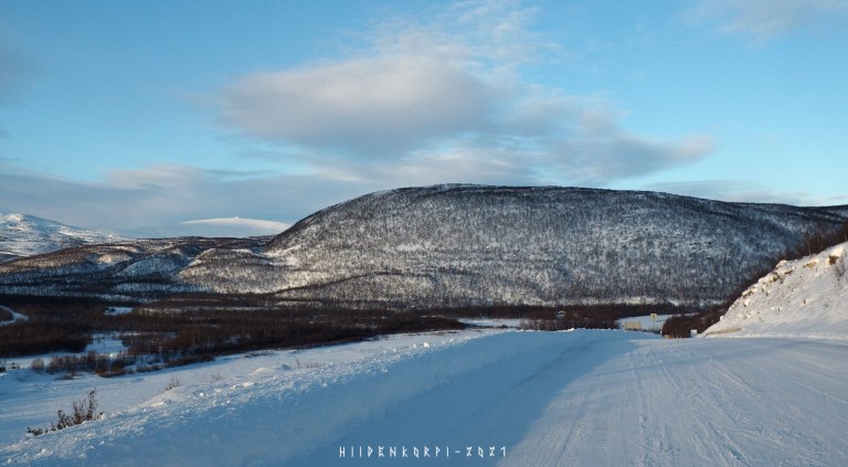
Panorama shot with 135 mm f/2.8 of the clouds hanging over the fell peak.
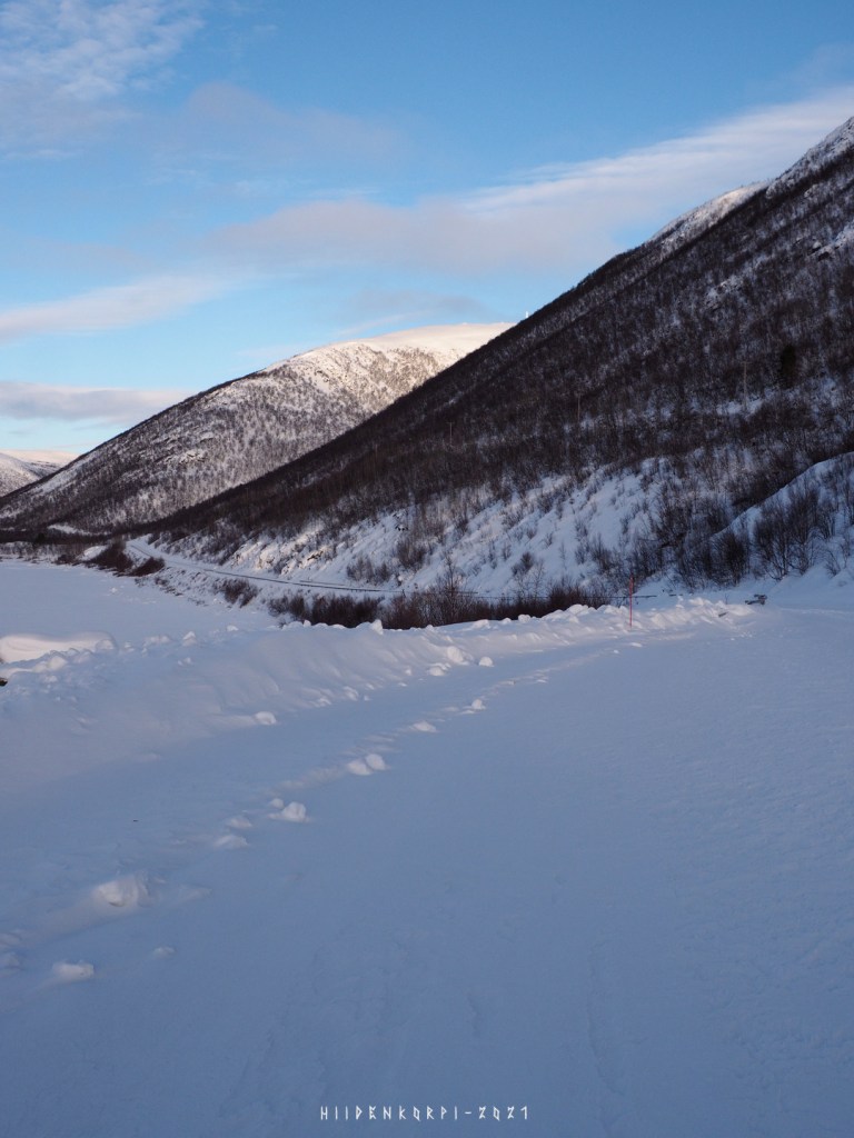
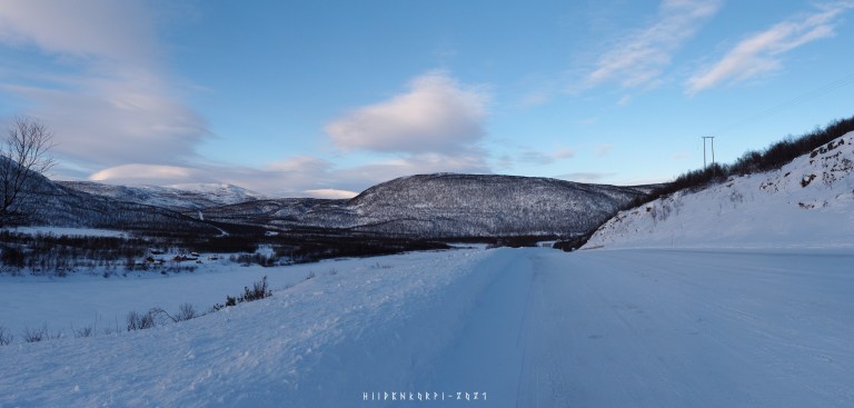
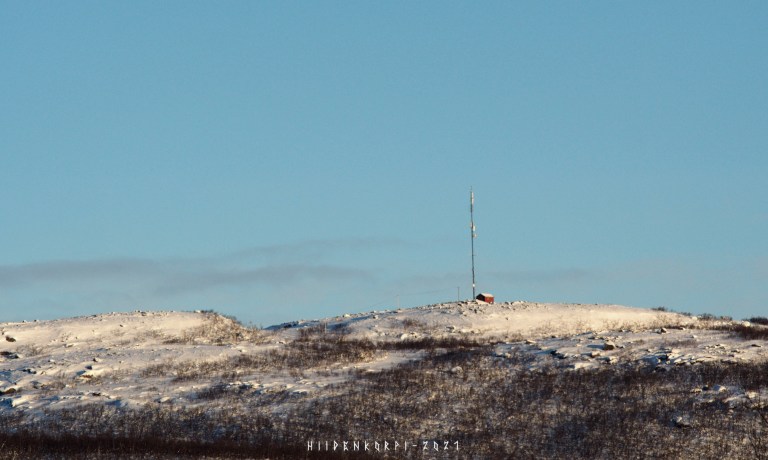
A wide shot from the P-place.
And another to the left from the previous picture above.
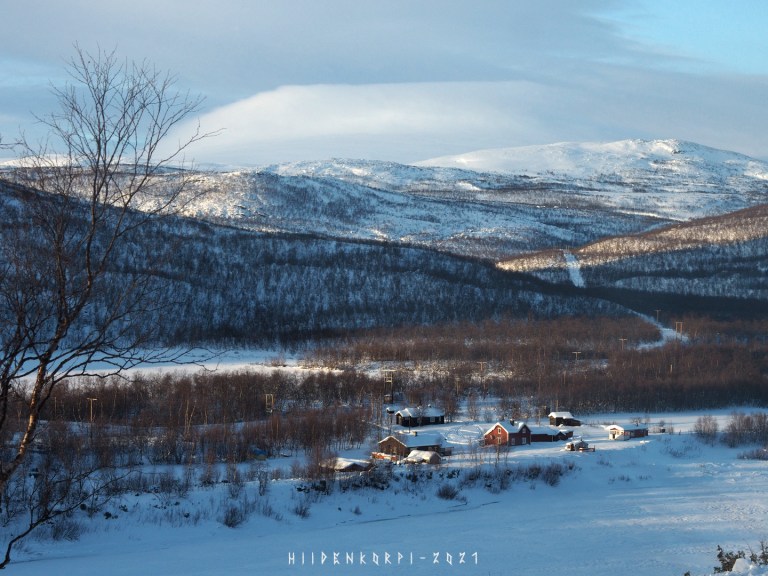
The view was beautiful as the Sun went behind the peaks behind of me but shined it’s light on some other parts of the river valley.
Some more Sunlight and shadows.
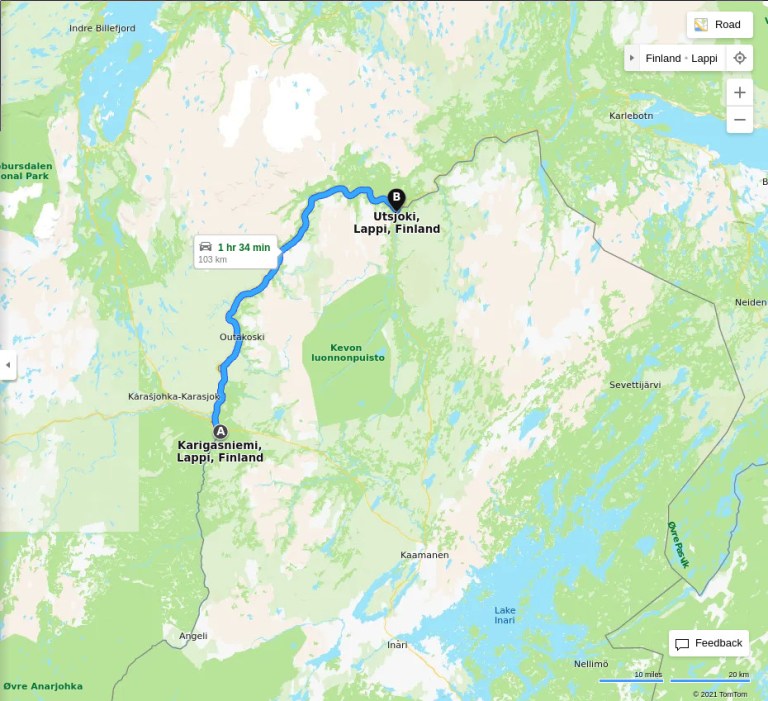
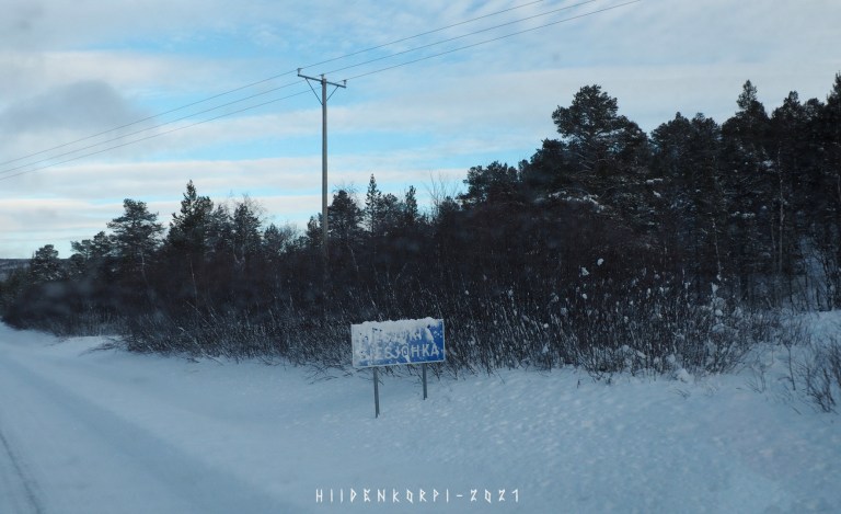
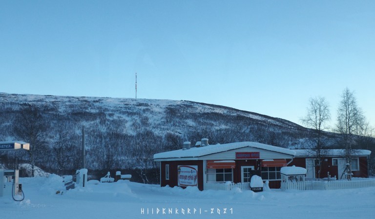
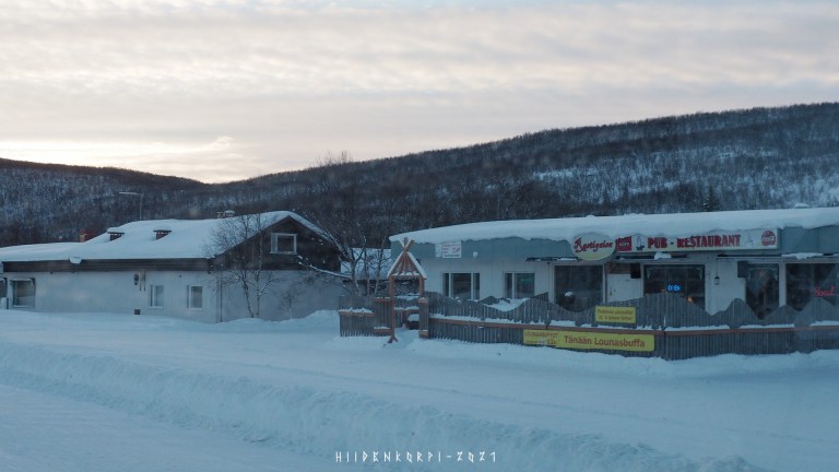
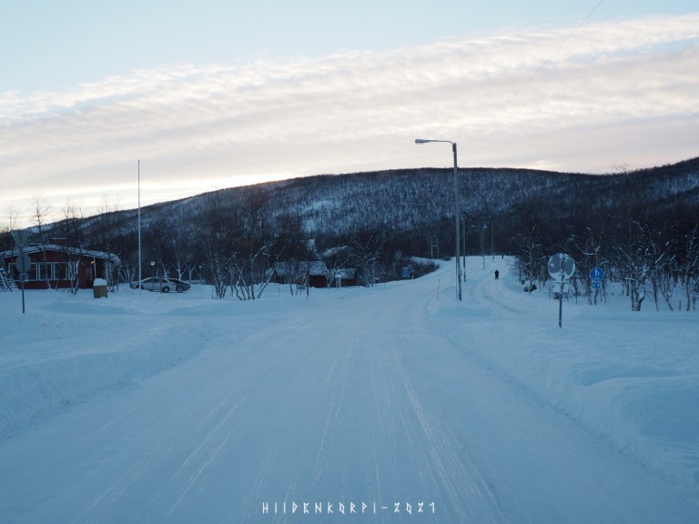
Arriving to the Utsjoki village.
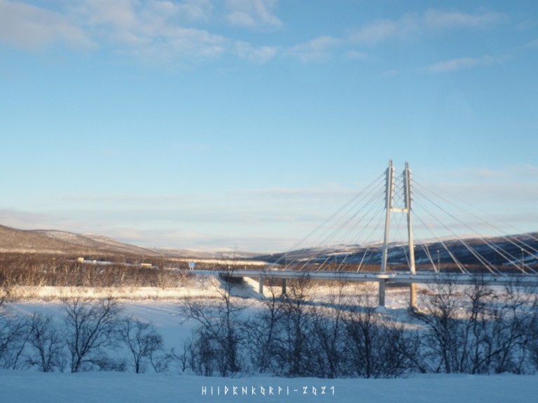
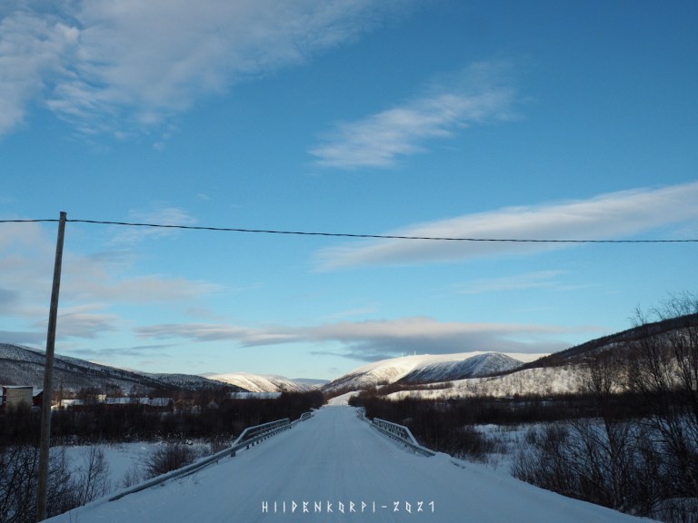
Bridge over river Teno (Tana) to Norway.
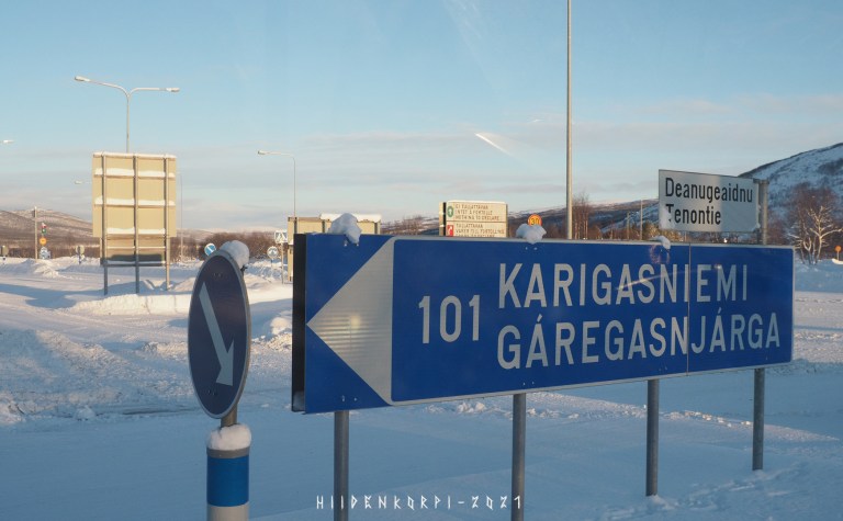
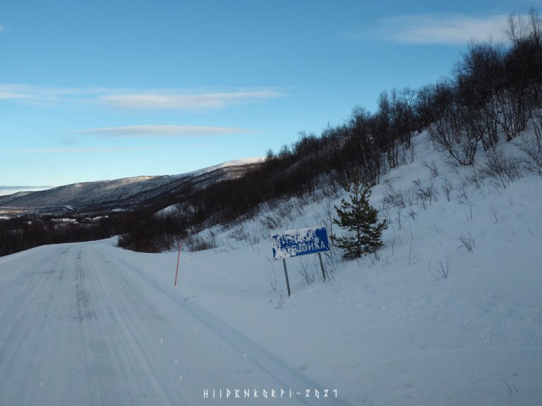
101 km back to Karigasniemi and the border crossing control point area behind of the sign.
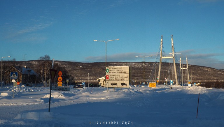
The border station and a bridge to Norway.

Sign welcoming you to Norway at the other side of the Bridge.
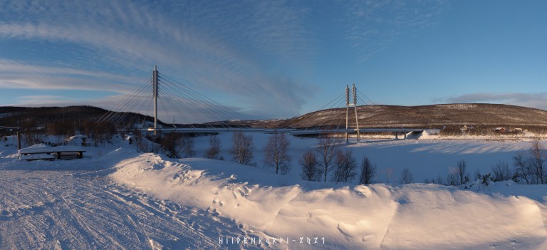
Panorama shot of the border crossing bridge that the stitching program messed up at the center.
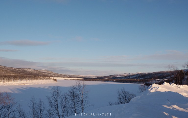
River towards north.
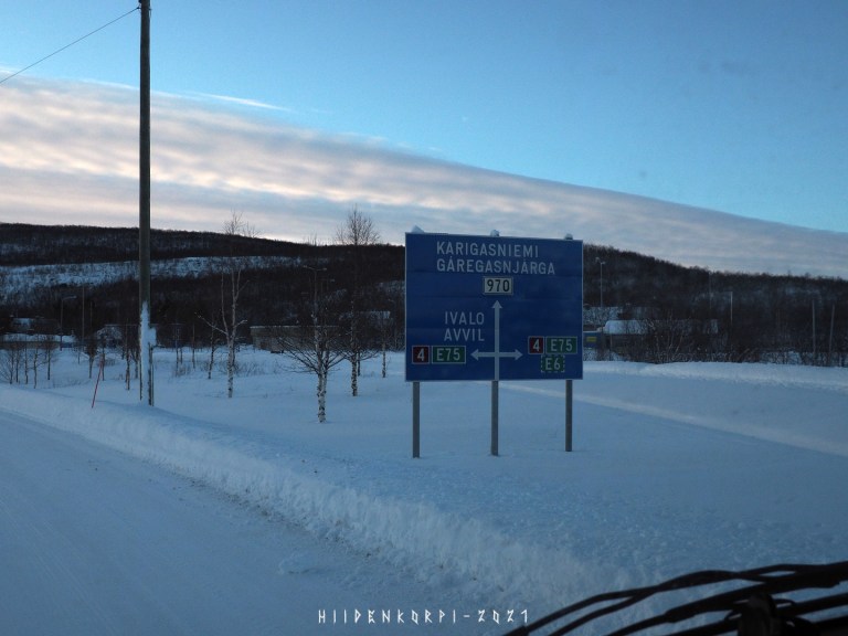
Road to the right goes to Norway, left goes back to Inari and all the way Ivalo, Rovaniemi, Oulu, Jyväskylä, Lahti, and eventually to Helsinki, as the national road 4 also part of E75 crosses whole Finland from north to south with total length of 1295 km in Finland.
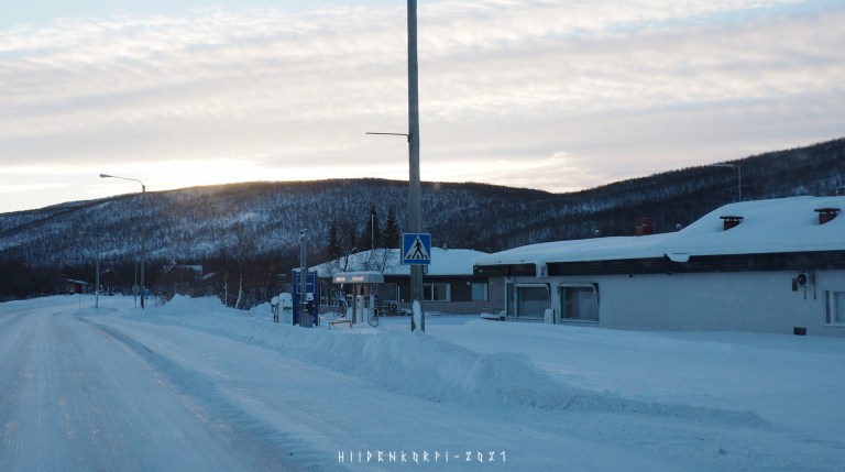
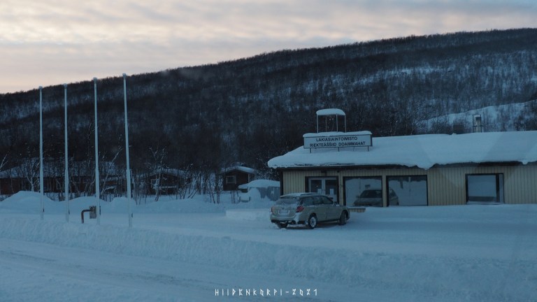
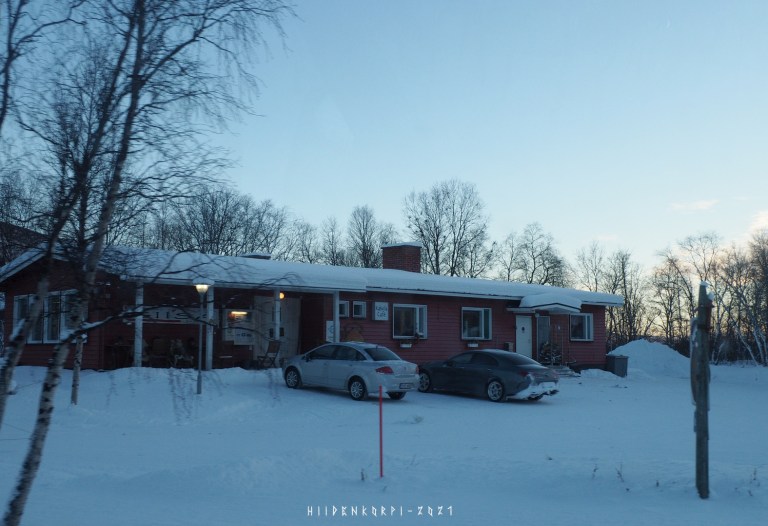
Few pics from the Utsjoki village center.
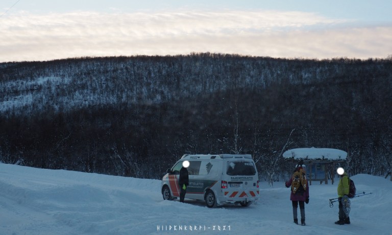
Because of the Covid restrictions the border guard seems to check people that wander the border area. Maybe these two didn’t do anything, maybe they went too close the river and the border, don’t know. But border guard had a chat with them anyway.
The school.
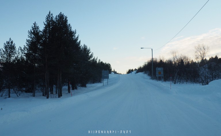
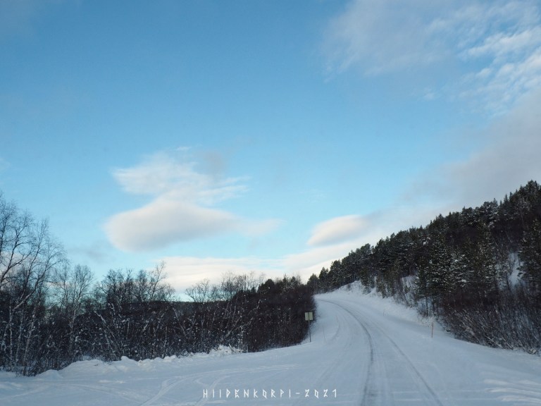
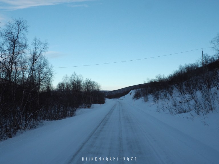
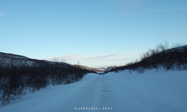
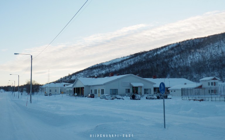
Leaving Utsjoki and heading towards Inari.
The sun had set already in Utsjoki as there are high mountains to the south of the village. I actually saw second sunset on my way to Inari as the road climbs up to the hills towards south and I could see the Sun again for a moment.
See you in part 3 of this adventure.
