
In February I had a chance to do a couple day road trip in Lapland. A friend of mine was invited to northern Finland for some work related excursion and as it’s a quite a long drive from middle / southern parts of Finland to the Lapland I tagged along to keep company.
As they were handling their work related duties, I took the couple days to drive around northern Lapland with my camera.
This post is mainly a huge image dump, and actually a part 1 of 4 in series.
My route was from Inari >> Karigasniemi (pt.1), Karigasniemi >> Utsjoki (pt.2) and Utsjoki >> Inari (pt.3) in one day. On the next day I drove from Inari to Saariselkä and Kiilopää and back (pt.4). There might also later be some extra pics and material from the trip to and from Inari to Rovaniemi and maybe something else also, tho no promises.
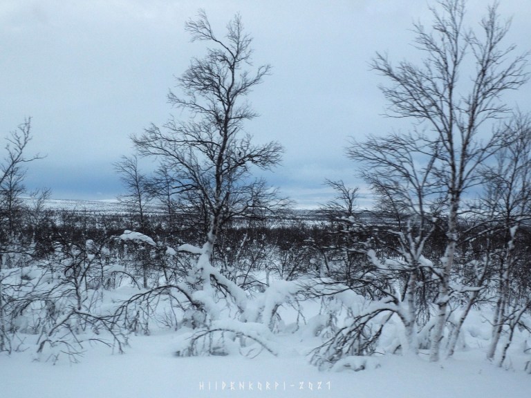
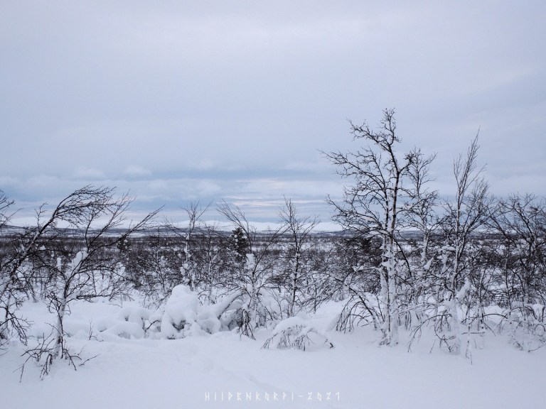
Some of the pictures are taken through the windshield of the car, so some blurs and hazes and dots here and there.
-
- Photo gear:
– Olympus OM-D E-M10 mk1
– Sigma 18 – 50 mm f/2.8 (4/3)
– Super Varexon 135 mm f/2.8 (M42)
– Zenit MS 3M-5SA 500 mm f/8 (M42)
– M42 x2 extender
- Photo gear:

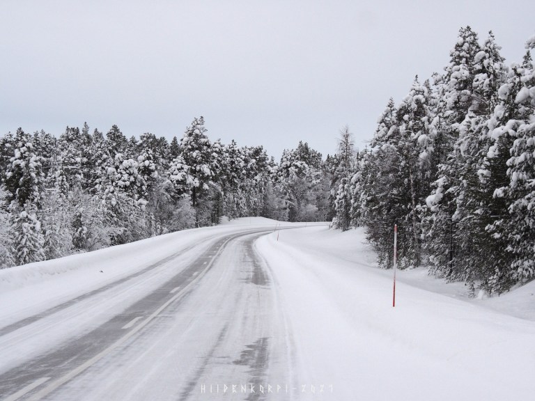
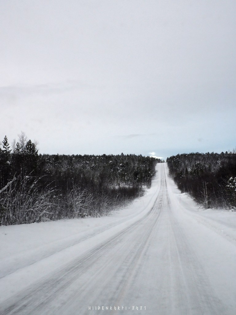
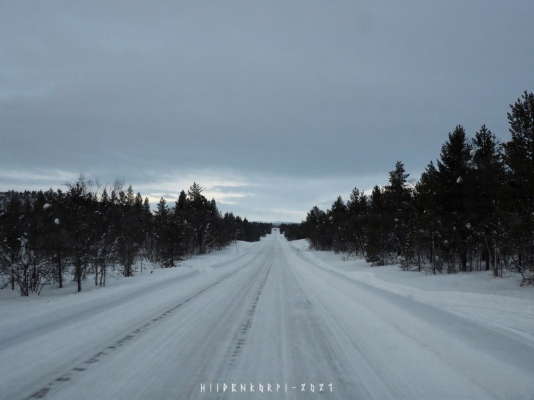
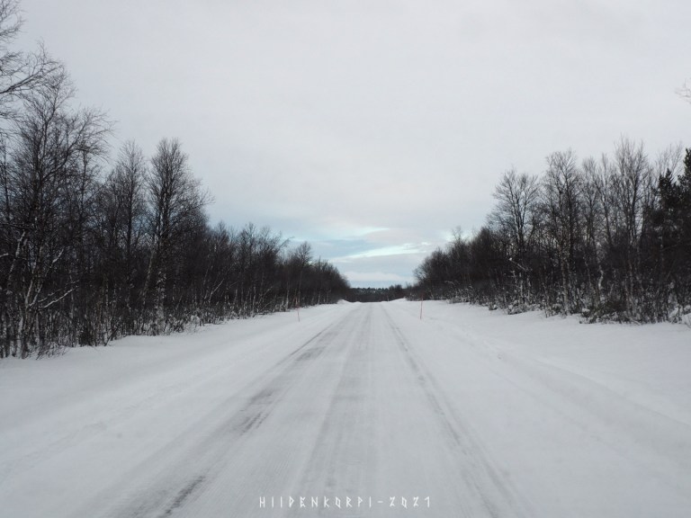
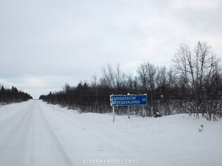
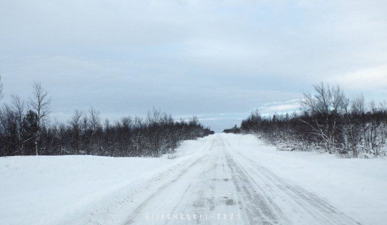
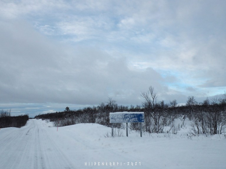
I started the trip from Inari and headed towards Norway border, a small place called Karigasniemi. I started around 11:30 o’clock and arrived to my first destination around 13:00, as I took time to look around and take some pictures and stopped few times just for the view.
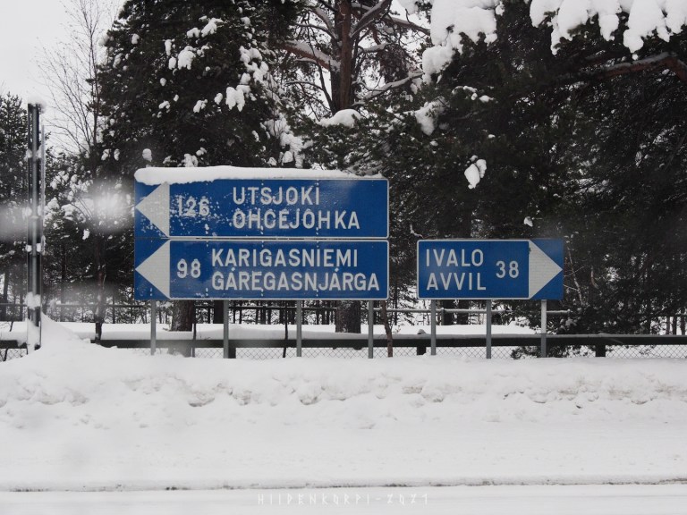
So towards Karigasniemi, 98 kilometers from Inari.
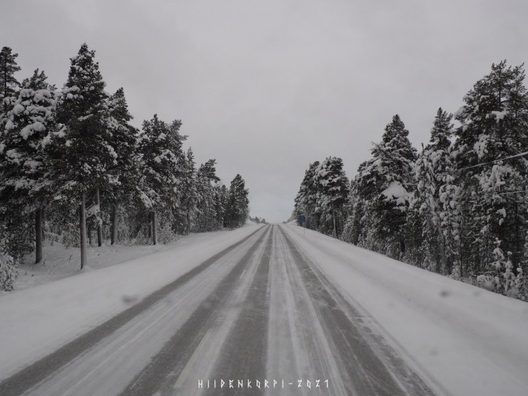
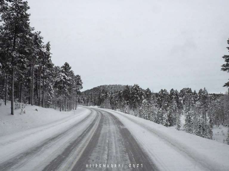
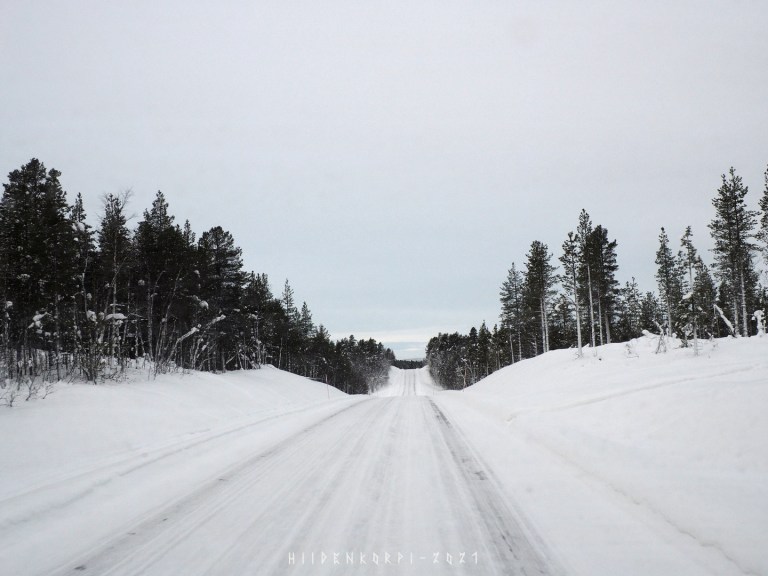
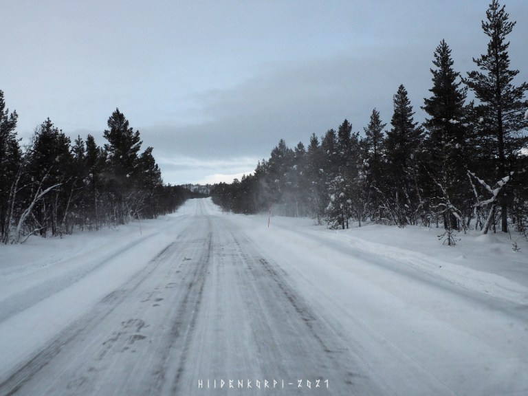
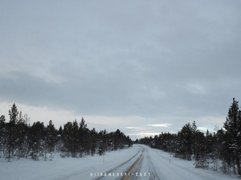
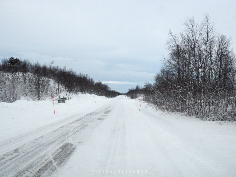
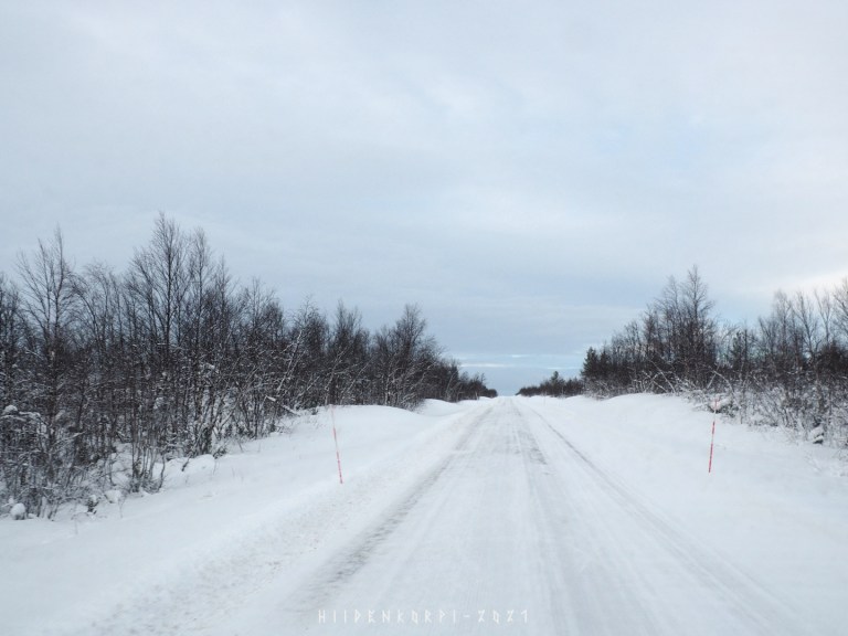
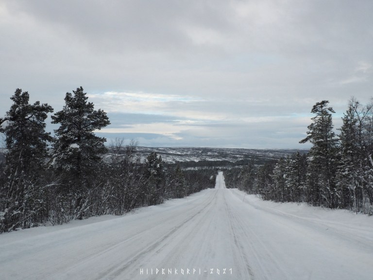
The Roads were clear and only few other cars around. The Covid-19 restrictions are in effect and not much traffic from and to the border at this time.

The roads in Lapland are usually quite well kept and there aren’t that much of a problem with snow blowing on the roads as there are in Norway side of the border as they are much more higher in the mountains. But be aware that winter tyre regulation is in effect during the winter months and one must have snow tires with or without studs.
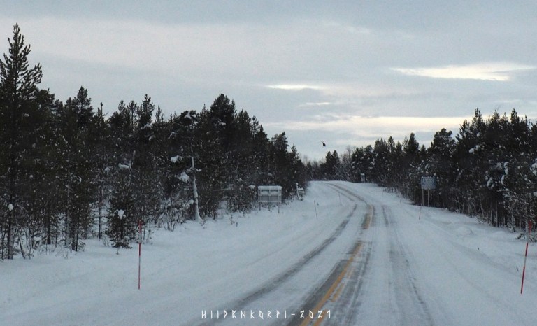
Tho there will be reindeers on the road now and then and one should be alert for those all the time when driving in the Lapland. There is an app called Porokello that one might want to download and use while driving in the Lapland.

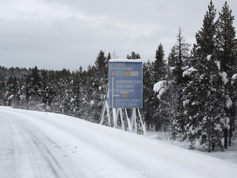
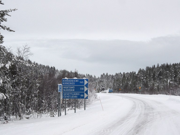
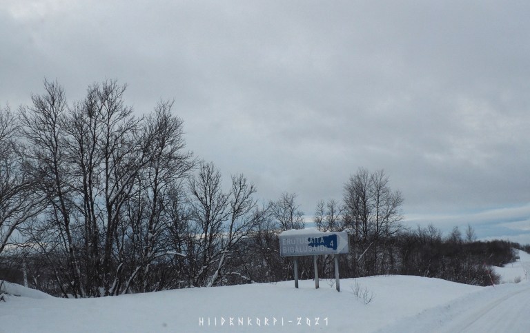
Intersection towards the north-east parts of Lapland, from where one can get to Näätämö (Neiden / Norway) and Kirkkoniemi (Kirkenes / Norway) and from there towards Russian border and all the way to the Murmansk.
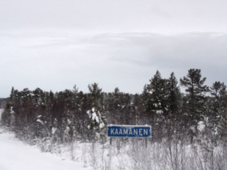
Village of Kaamanen – Sadly no better picture from this place, but basically a small place “in the middle of everything“ as the roads towards Inari, Karigasniemi, Utsjoki and Näätämö cross here.
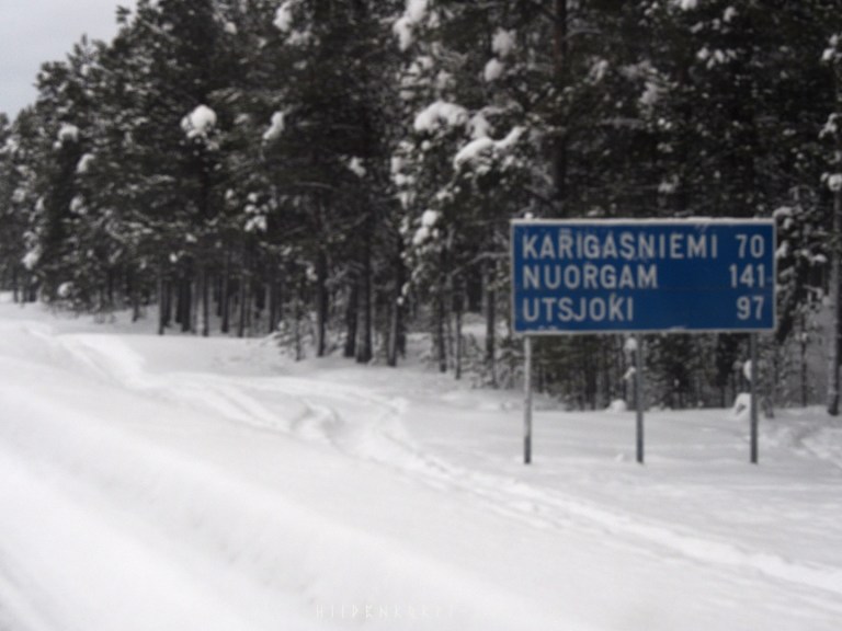
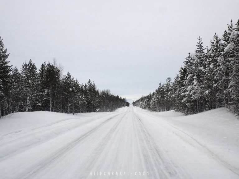
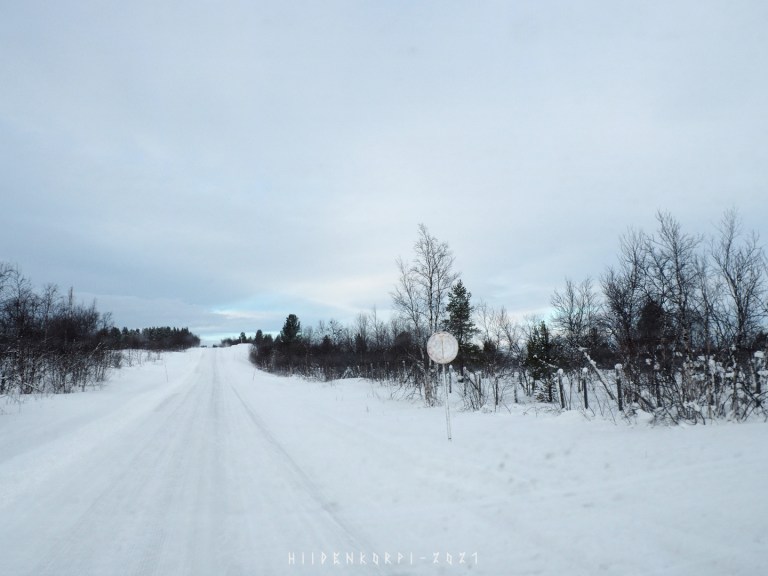
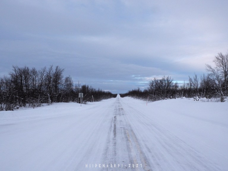
Road 92 towards Karigasniemi.
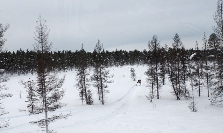
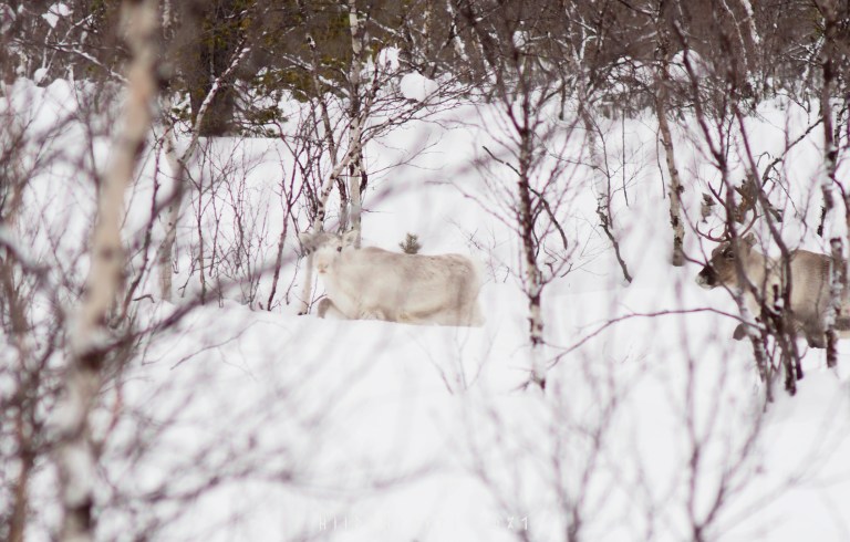
First reindeer spotted for this trip, standing at the side of the road on a snowmobile track.
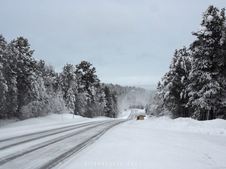
The roads were quiet and only few cars passed by and I had all the time in the world to take some pictures without fear of getting run over.
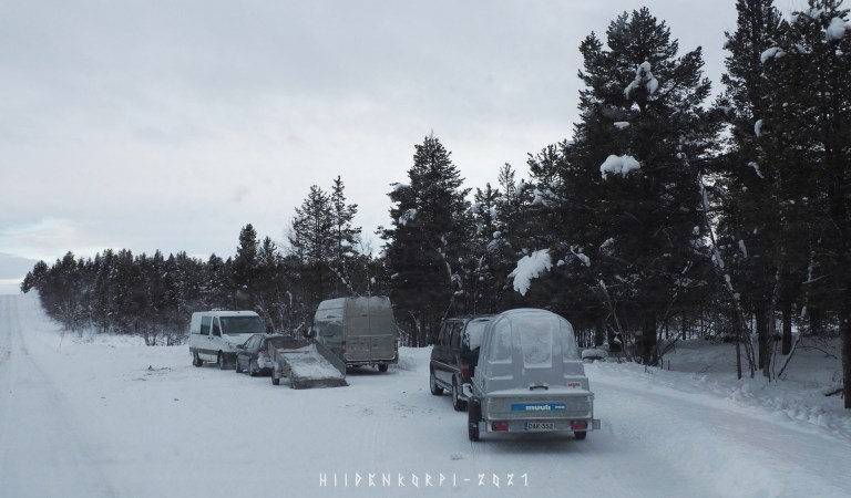
Spotted this first and didn’t pay that much of attention to it, as people tend to haul their snowmobiles around on trailers and vans…
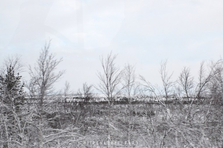
But then saw something on the horizon…
A helicopter flying low was a giveaway and I hoped I would see something interesting…
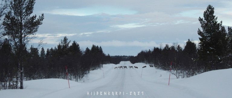
And yes. A whole reindeer herd (tokka) been moved to another place. The cars parked earlier were the herders’ cars and I could hear the helicopter and the snowmobiles in the distance as the whole tokka crossed the road towards their new pastures.
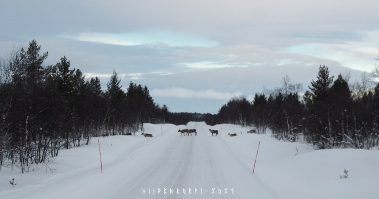
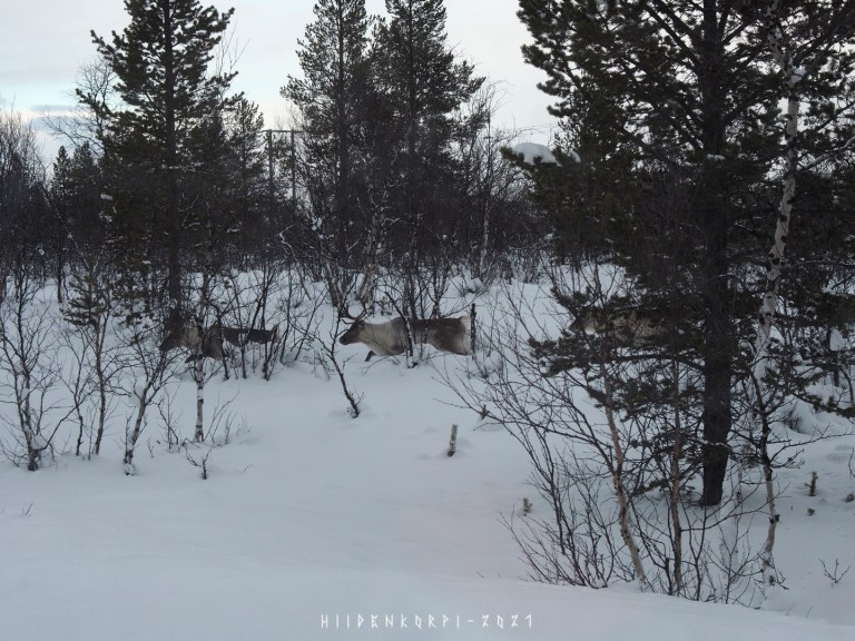
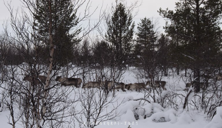
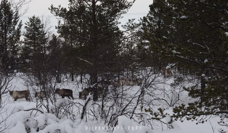
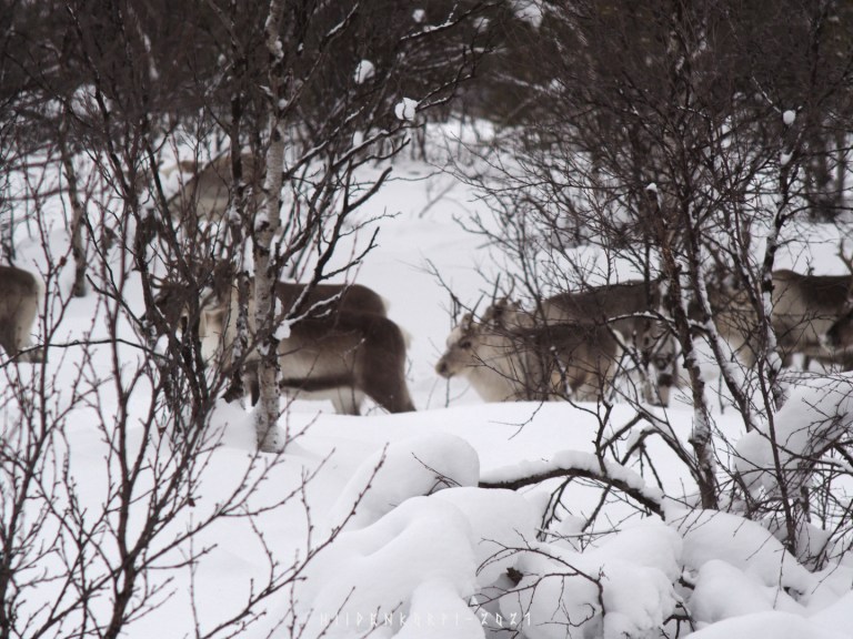
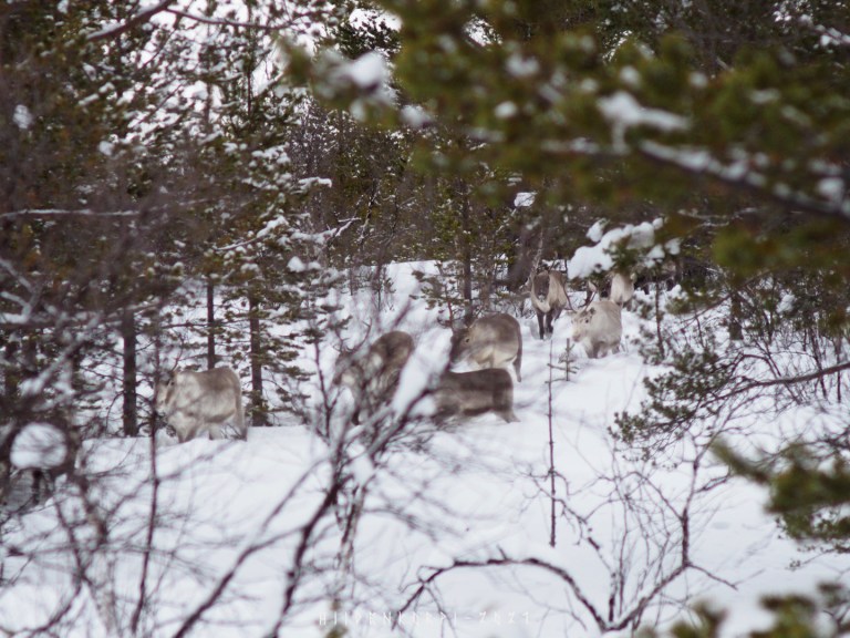
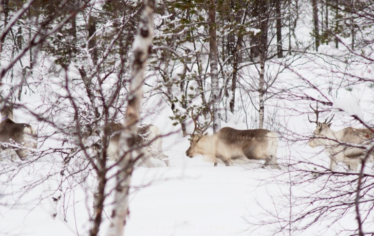
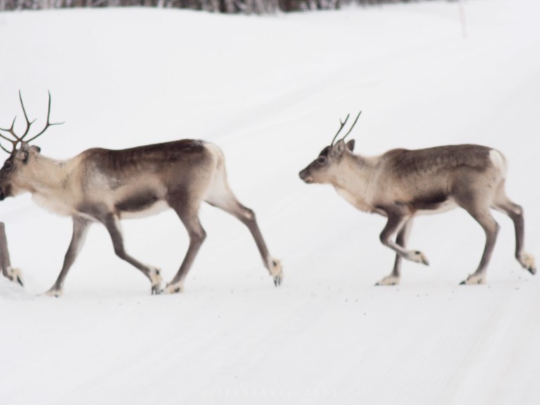
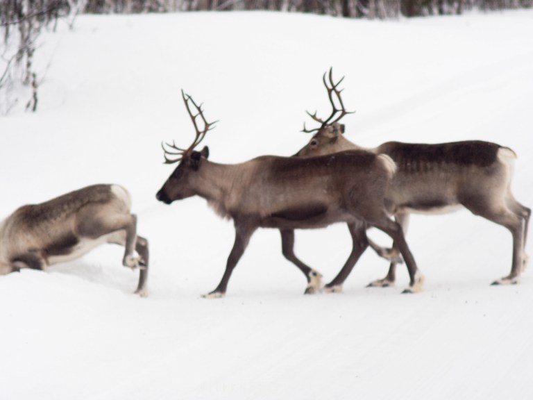
Didn’t count, but I’d say +100 head tokka or so, maybe…
Was a sight to see for a southern city dweller who has not seen that many reindeers.
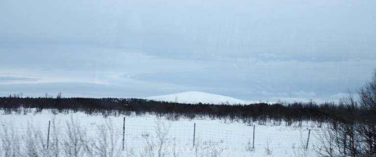
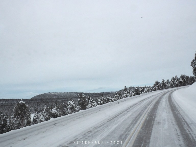
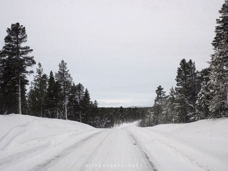
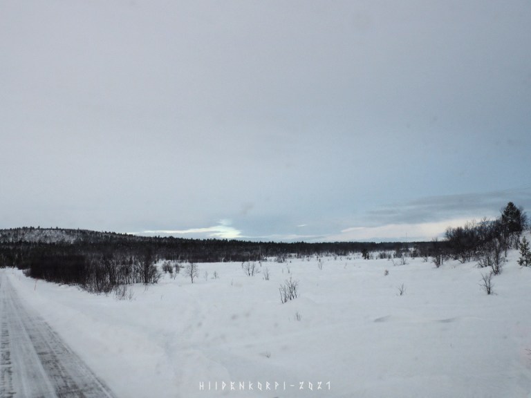
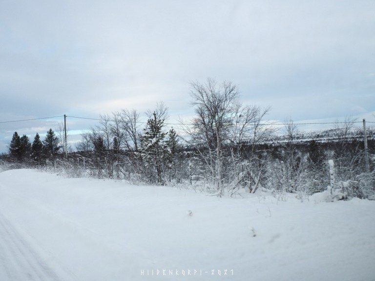
First fell for this trip in the distance. There aren’t that much of big mountains in Finland, but when one gets near Norway border the fells and mountains become a common sight.

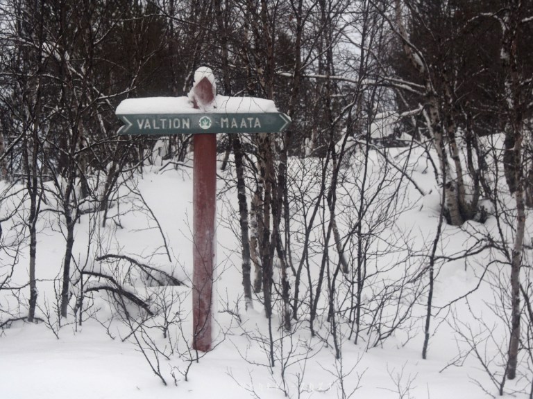
There are lots of government owned land and forests in Finland and they are often marked from private lands with signs like this: “valtion maata” stating that the country or government of Finland owns these lands.

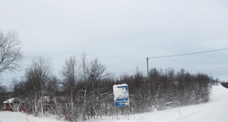
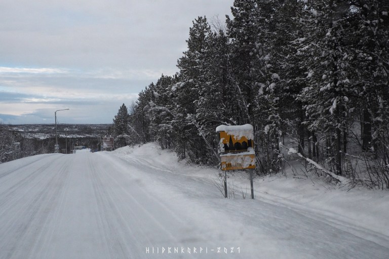
Sometimes the road signs are covered in snow because of the snowplows or high winds and yes, basically you should stop and clean a sign like this so you can see what it says. There have been some cases where people have gone to the court to settle things like are you bound to follow a speed limit that you can’t see in a situation like this.

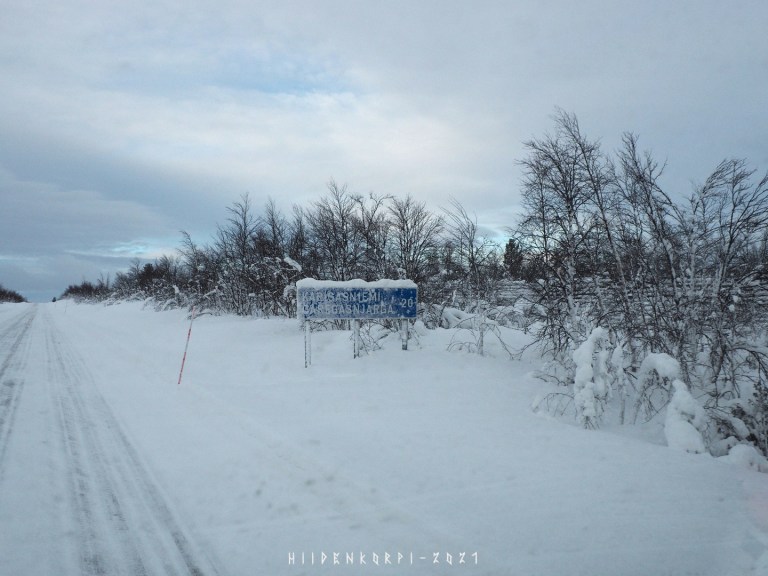
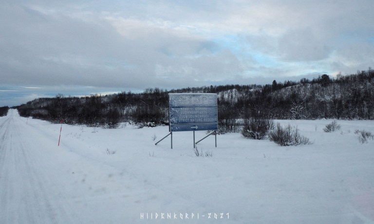
A sign towards the Kevo Strict Nature Reserve. It was established in 1956 and covers 712 square kilometres. Popular but demanding hiking area.
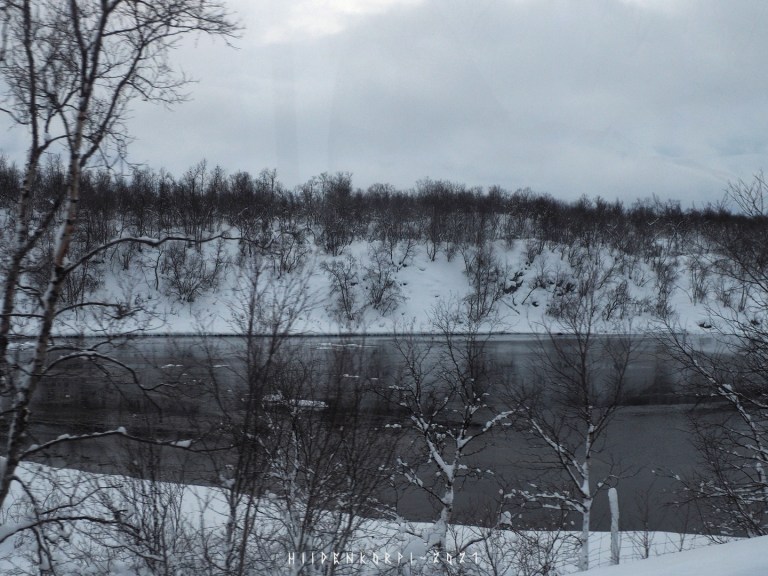
Some open running waters tho it’s still February and temperature was around mild -15°C.
Almost there…
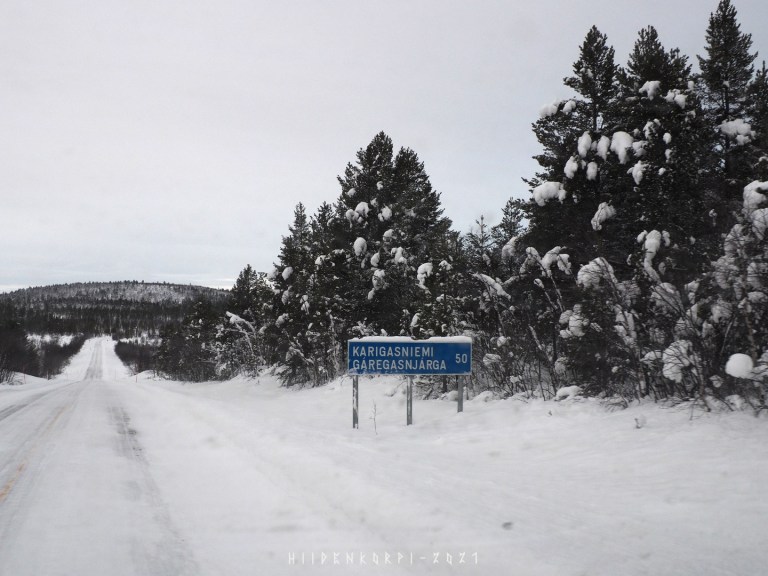
Down towards the village of Karigasniemi and the Norway border.
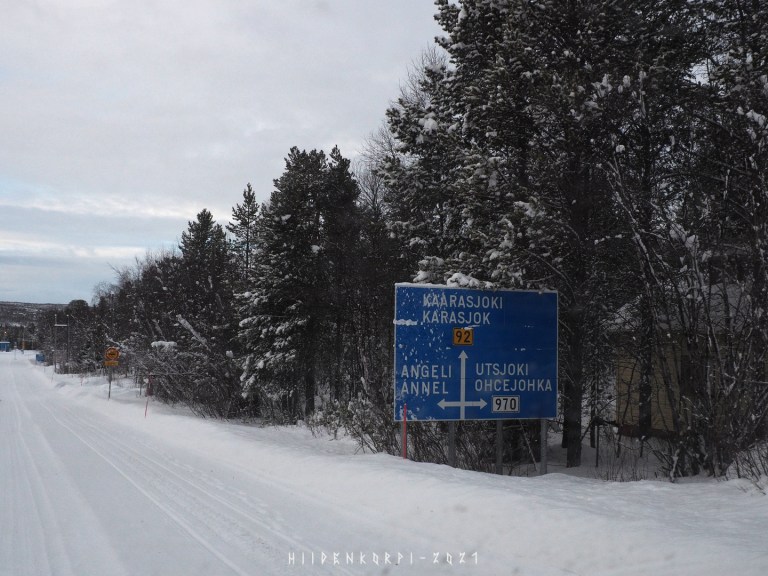
Kaarasjoki (Karasjok / Norway) is at the other side of border river Teno (Tana).
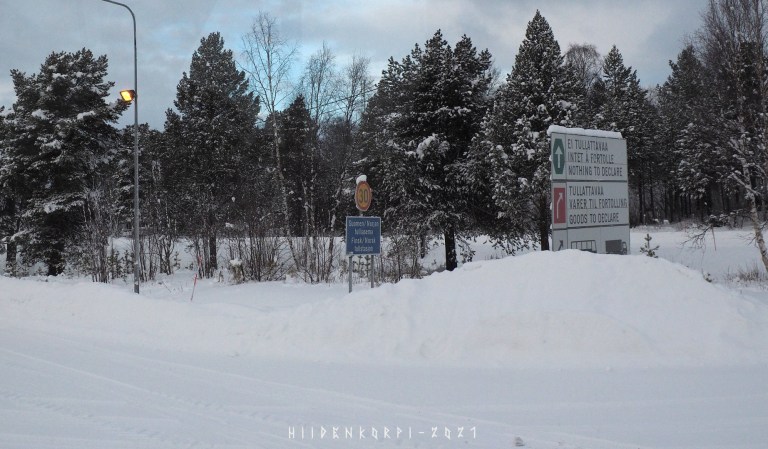
Border area towards Norway.
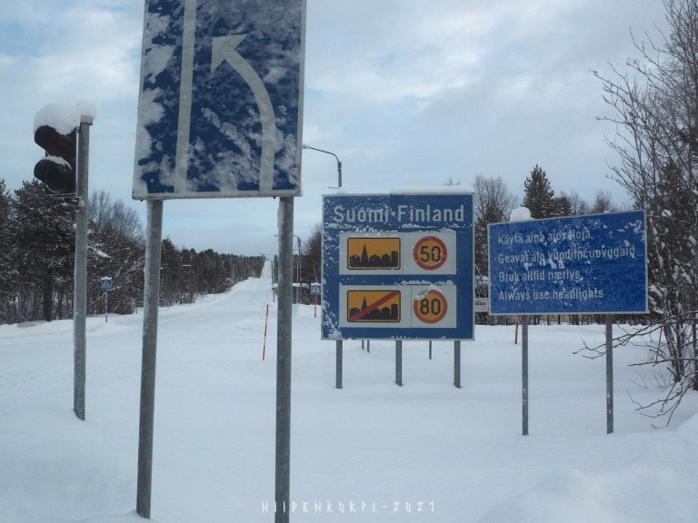
Border area on the Finland side and the road that I arrived to Karigasniemi.
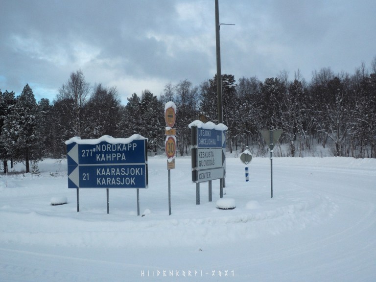
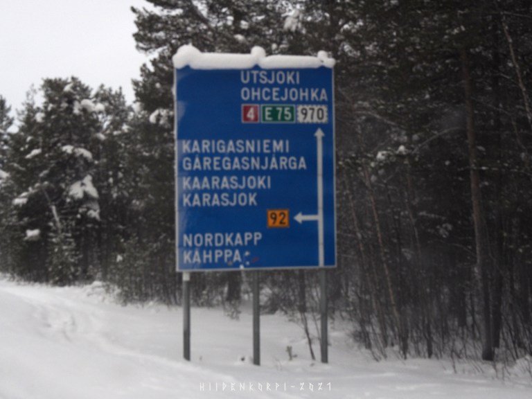
From here I’ll be heading towards Utsjoki and following river Teno at the finnish side of the border.
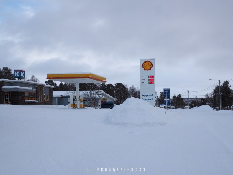
But first some refreshments for the car and for myself.
…to be continued.
